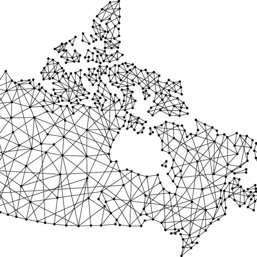
Geographic Information Services (GIS) is a way of gathering, managing and analyzing data. Integrating many different sources of data, GIS uses spatial locations for analysis. This data can be organized into layers for visualization using maps.
GIS can reveal patterns and relationships in data which can be used to identify problems, monitor changes, interpret trends, create forecasts, manage and respond to events. All this is used so that GIS can communicate, perform analysis, share information and solve complex problems of todays challenges.


