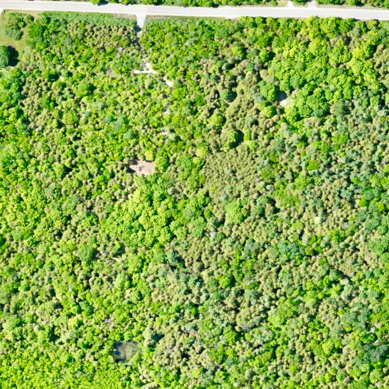
Identification of features on project sites ( i.e. Trees, buildings, roads, ponds, rivers and sidewalk layouts)
Tree count
Building Counts/Building Footprints
Identify areas of low crop health/ high crop health
Coloured overview map of field
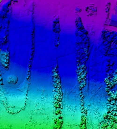
Identify areas of water drainage
Identify areas of water deficiencies
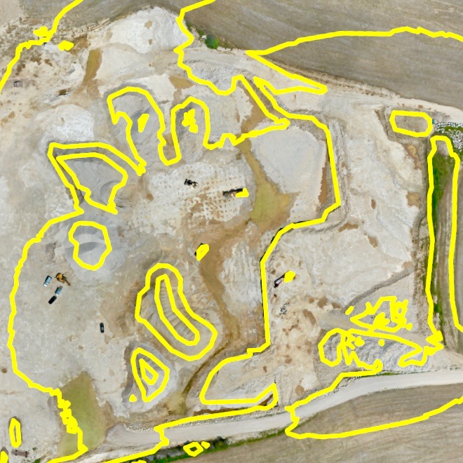
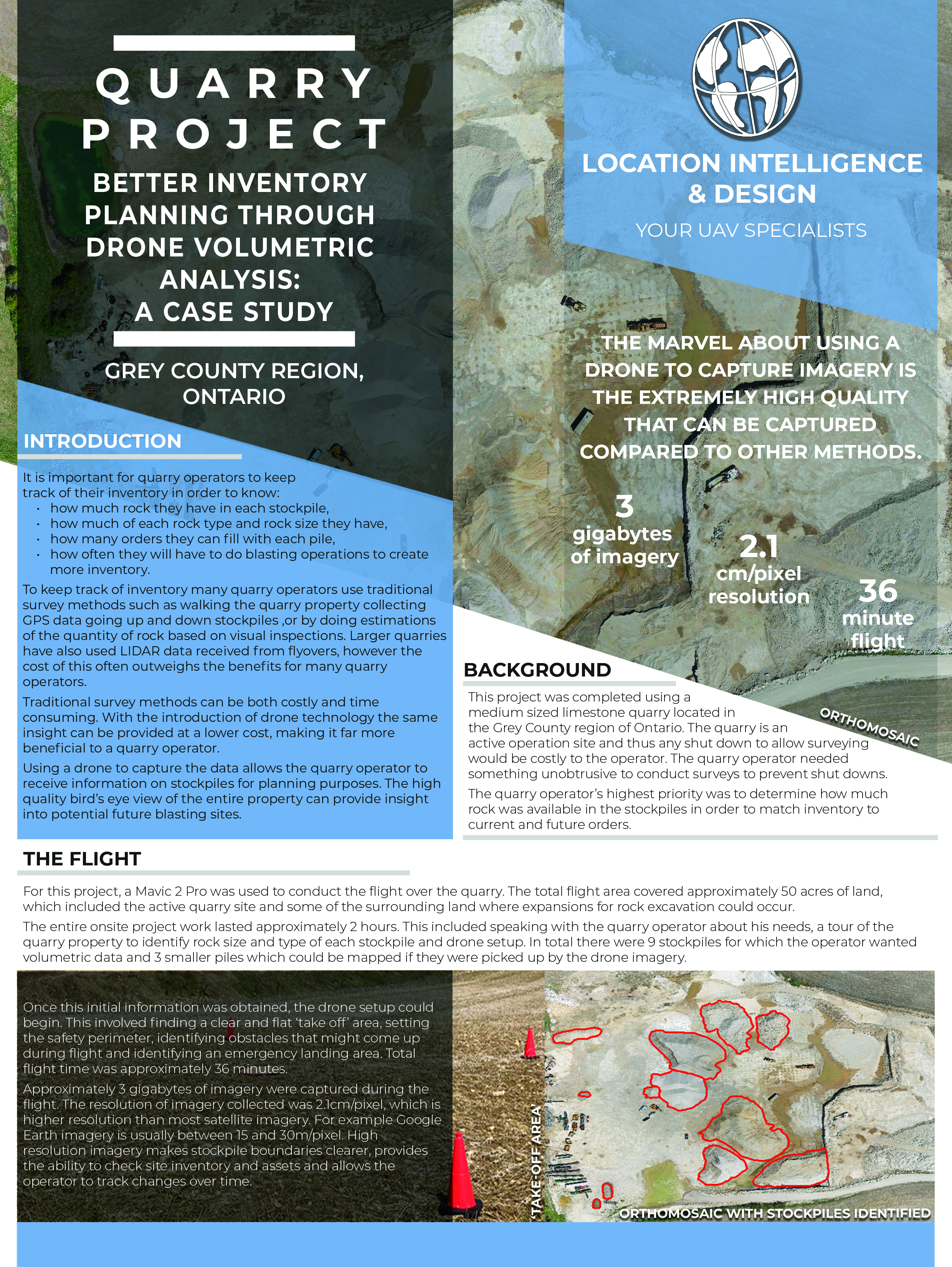
Aerial view of quarry
Identification and site locations of stockpiles
Site inventory/footprints of site features
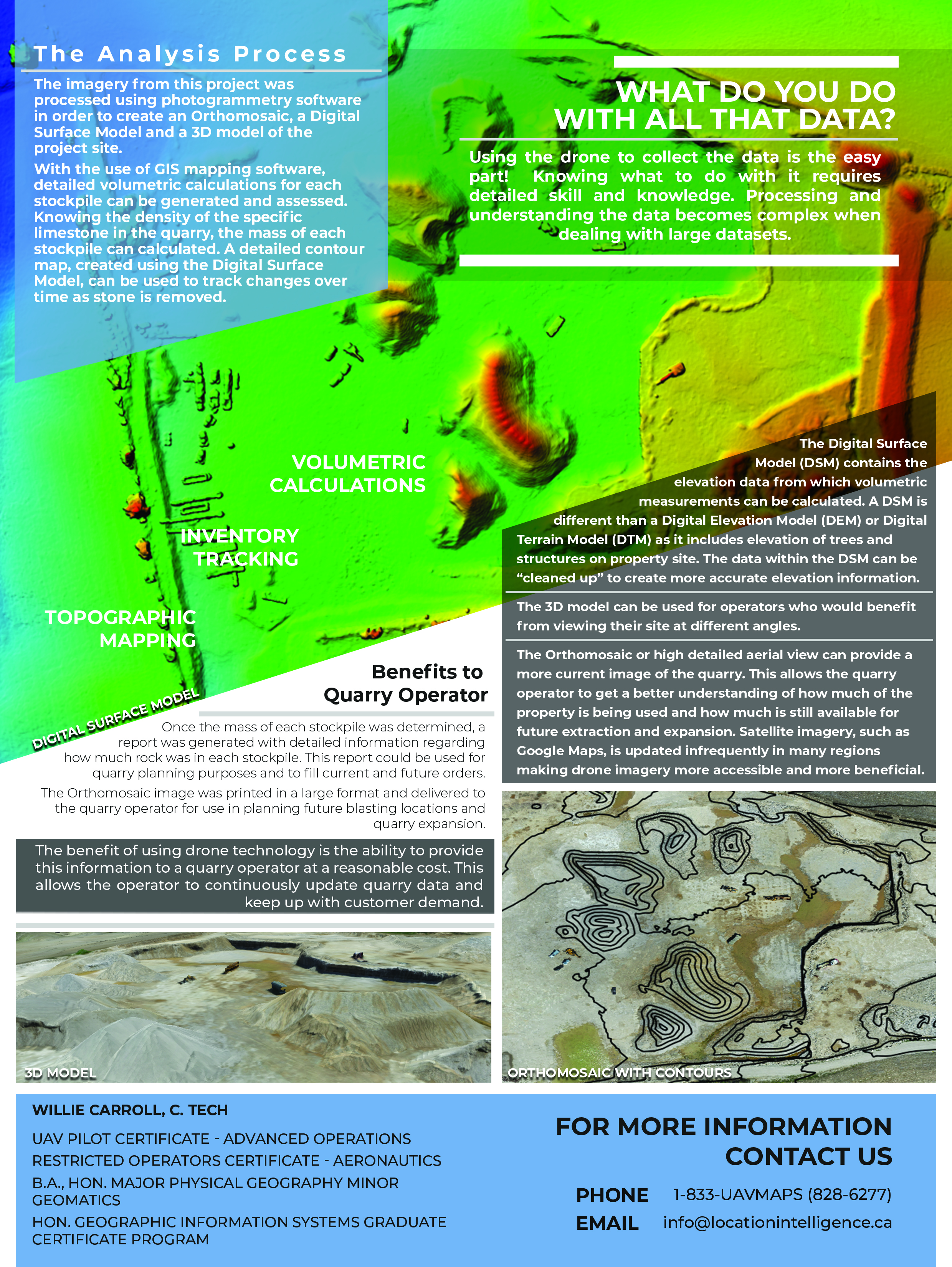
Approximate calculation of volumetrics of stockpiles
Safer data collection
Marketing Flyovers
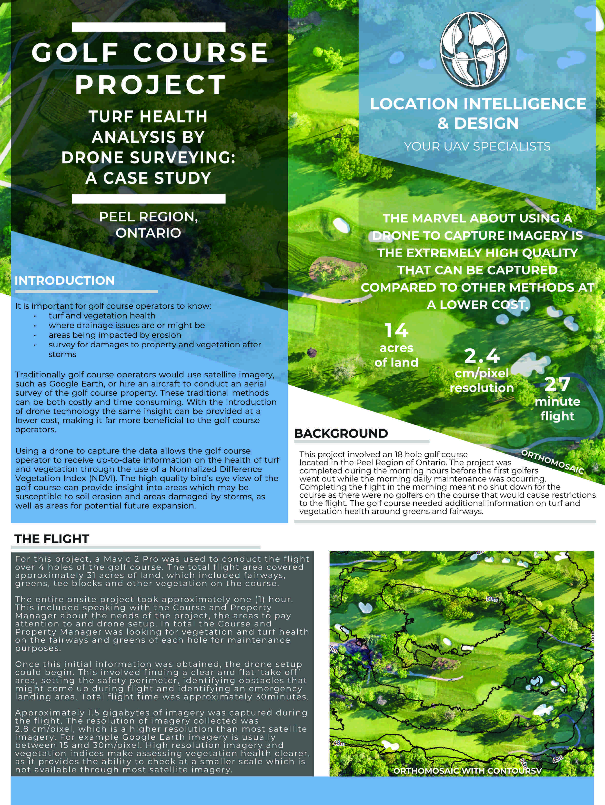
Create accurate course guides and scorecards
Use aerial imagery on score cards
Assist with course maintenance
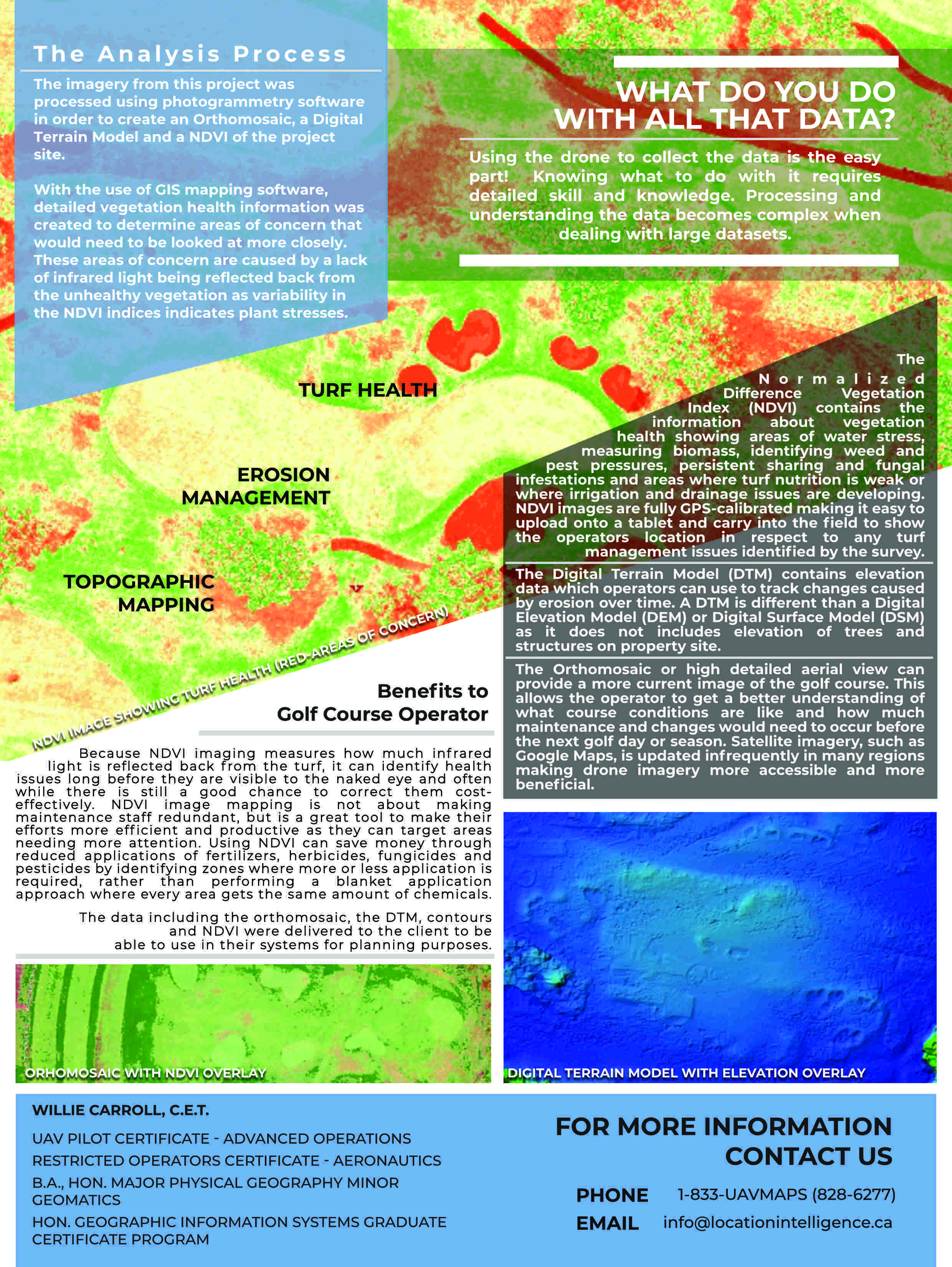
Create map to identify turf health and issues
Identify sources of vegetation damage such as drainage issues or hardly visible leaks
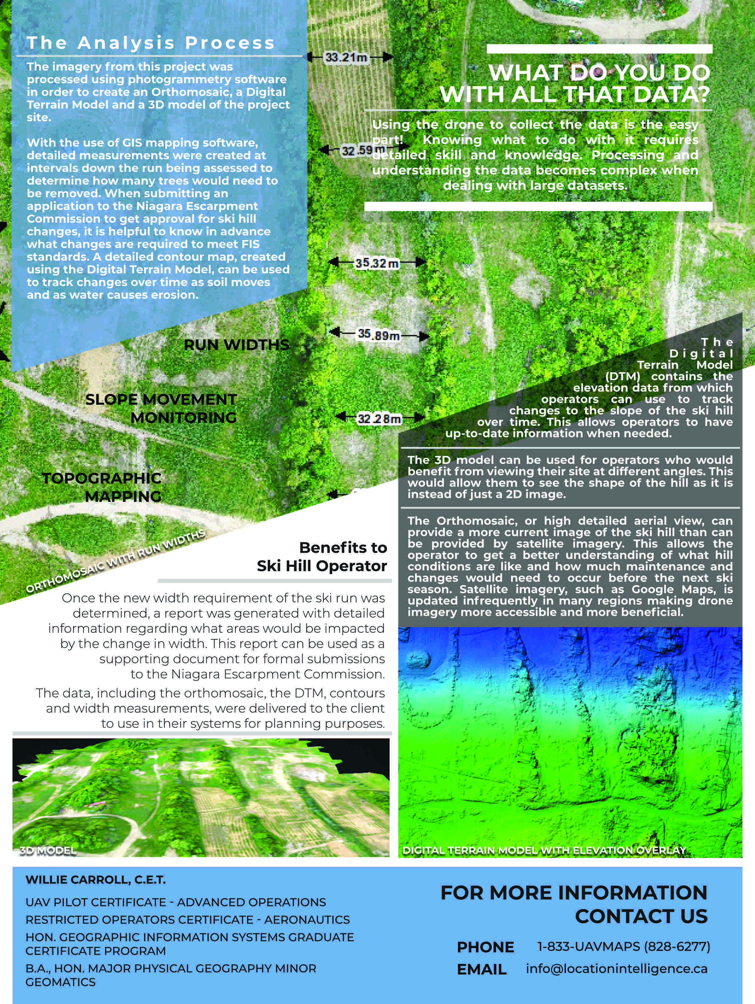
Identify areas of erosion from water features such as lakes, rivers, ponds, creeks
Expansion Planning
Roof quality inspections
Exterior building inspections for insurance
Site inspections for insurance and audits
Property inspections for insurance and audits