Location Intelligence & Design offers a range of business solutions including:
-
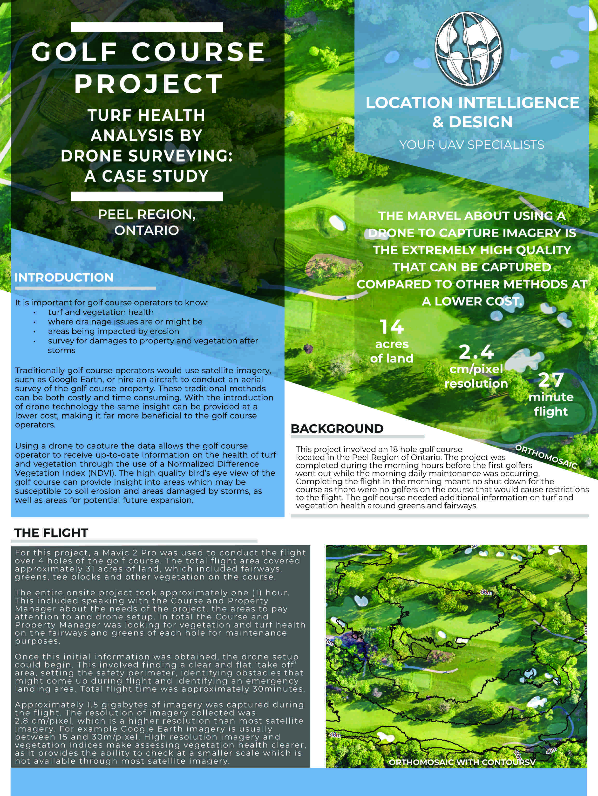
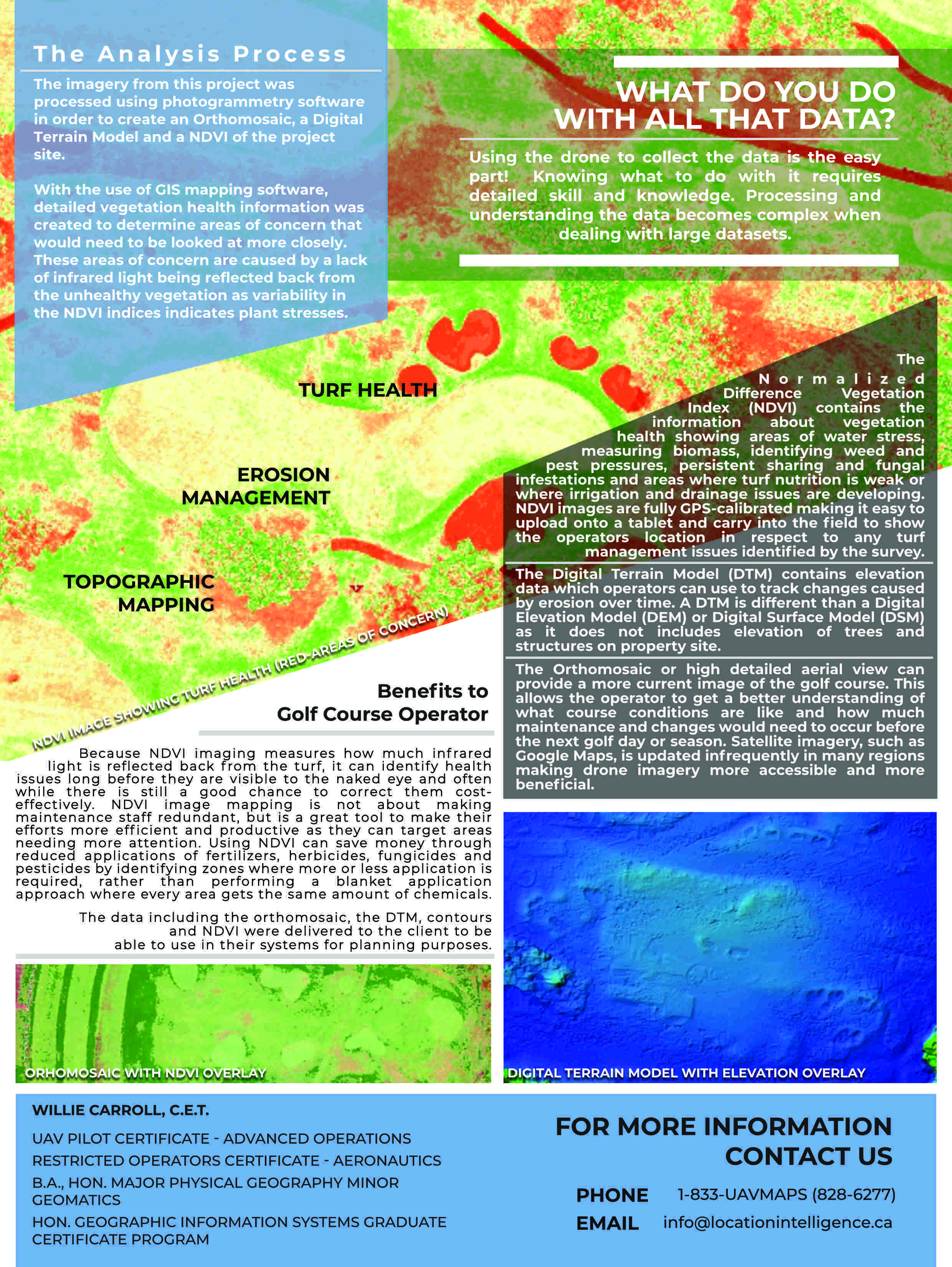
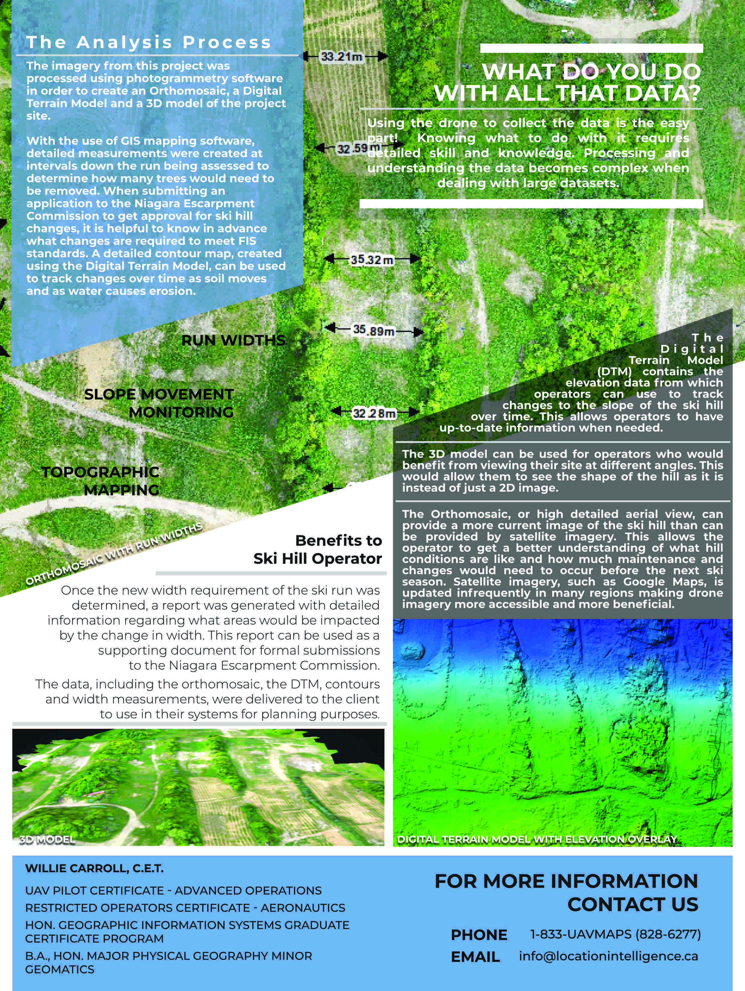
UAV/Drone services
-
Aerial Analysis
-
Survey data interpretation (topology surface creation, survey data visualization)
-
Quarry volumetric analysis
-
Environmental data analysis
-
Site plans for Environmental Site Assessments (ESA Phase I, II, III)
-
Record of site conditions
-
Municipal, regional, provincial, federal construction projects (water, hydro, wastewater, roads)
-
Groundwater and surface water monitoring
-
Hydrology analysis (watershed, flow system, drainage system)