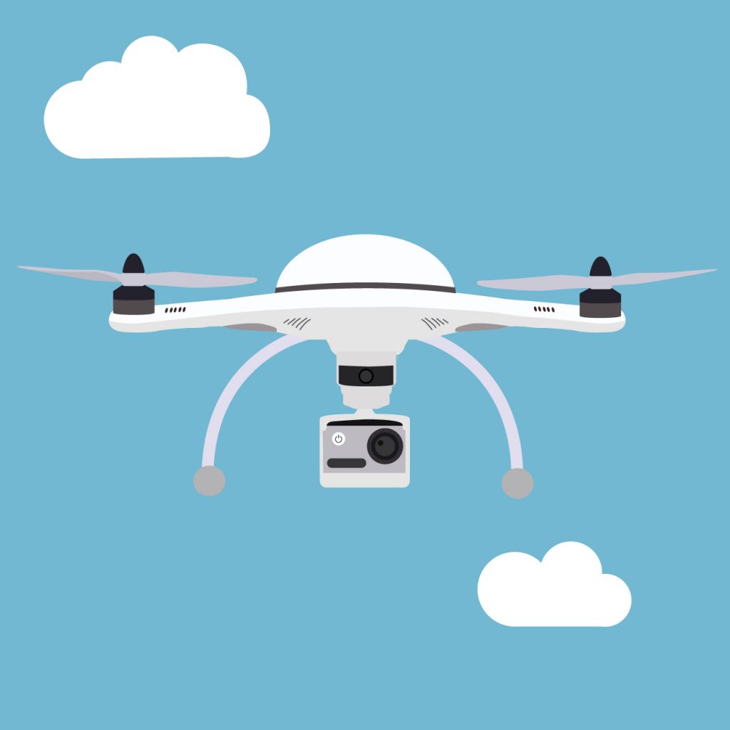
UAV surveying and drone mapping are alternatives to traditional aerial aerial surveying that can be more economical. UAV surveying and drone mapping can be used in a quick and easy manner to map both small and large project areas instead of having to book a conventional aircraft fitted with the proper equipment.
For projects small and large UAV surveying is a cost-effective and efficient method that yields similar results to the traditional aircraft surveying.
