Mapping
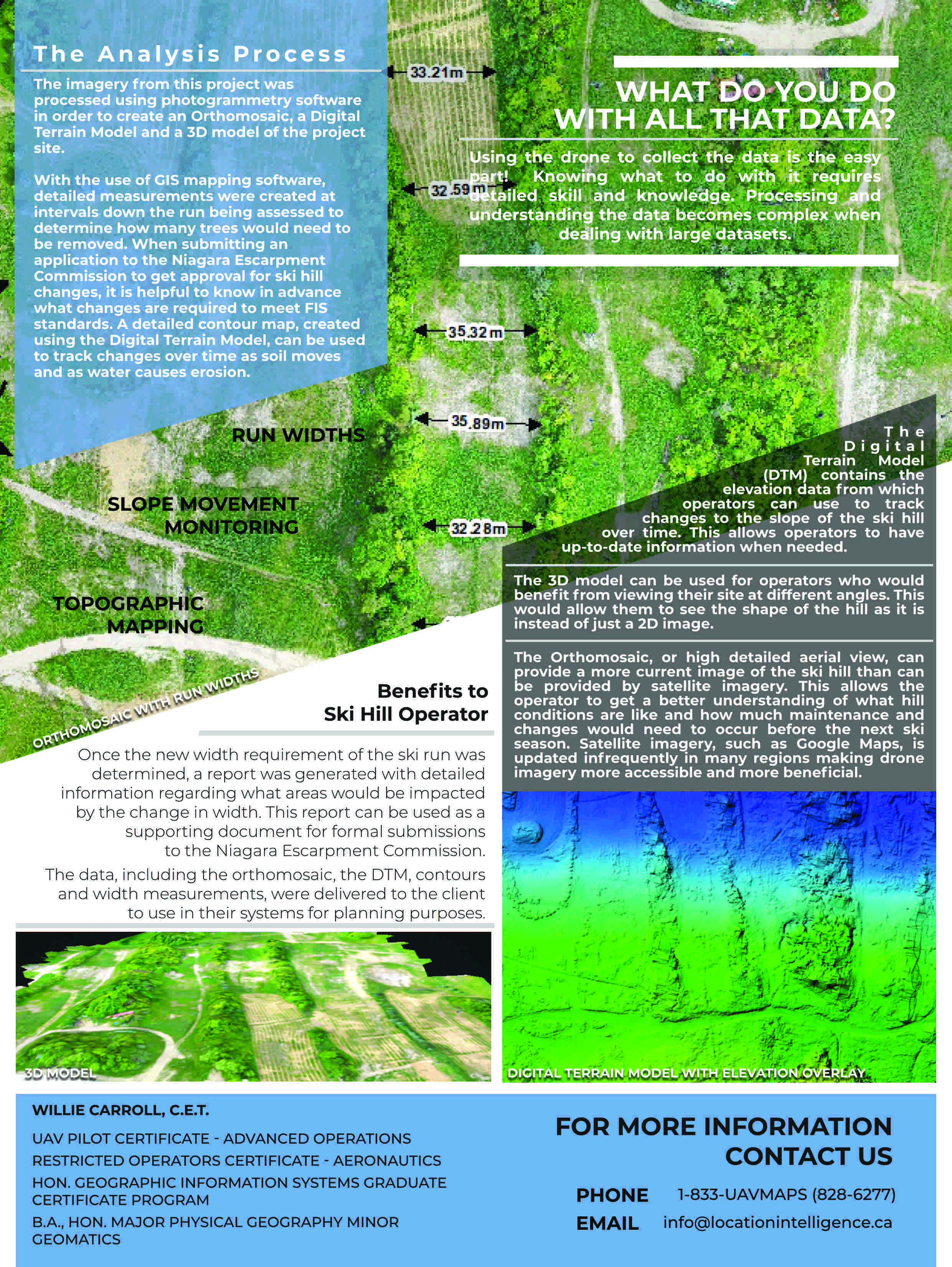
Provide cartography to create interactive web maps, standard and large format sized maps for print

GIS Design & Modelling
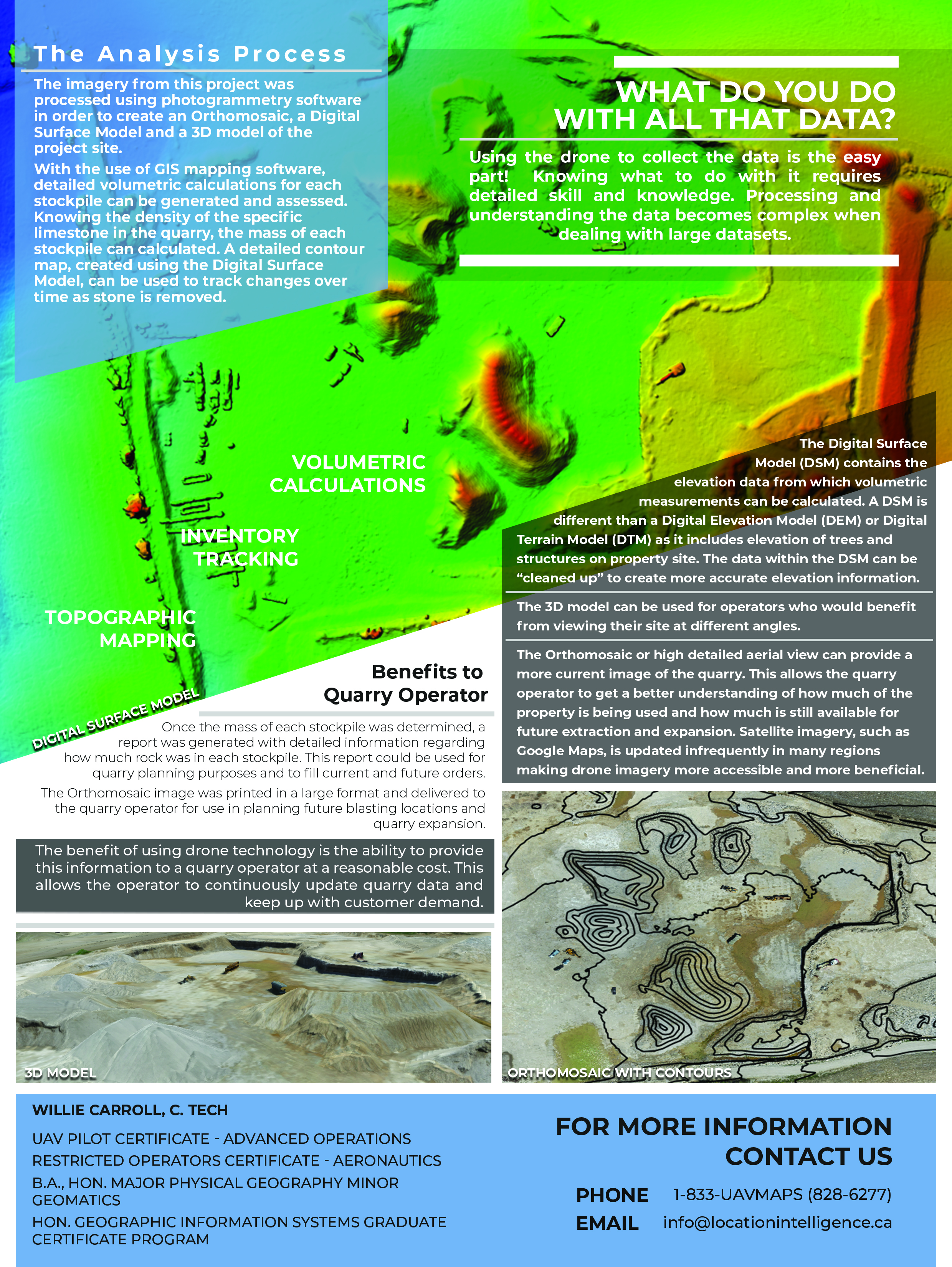
Explore spatial relationships. AutoCAD Design work such as cross sections, topology data and site layouts

Geospatial Data Management
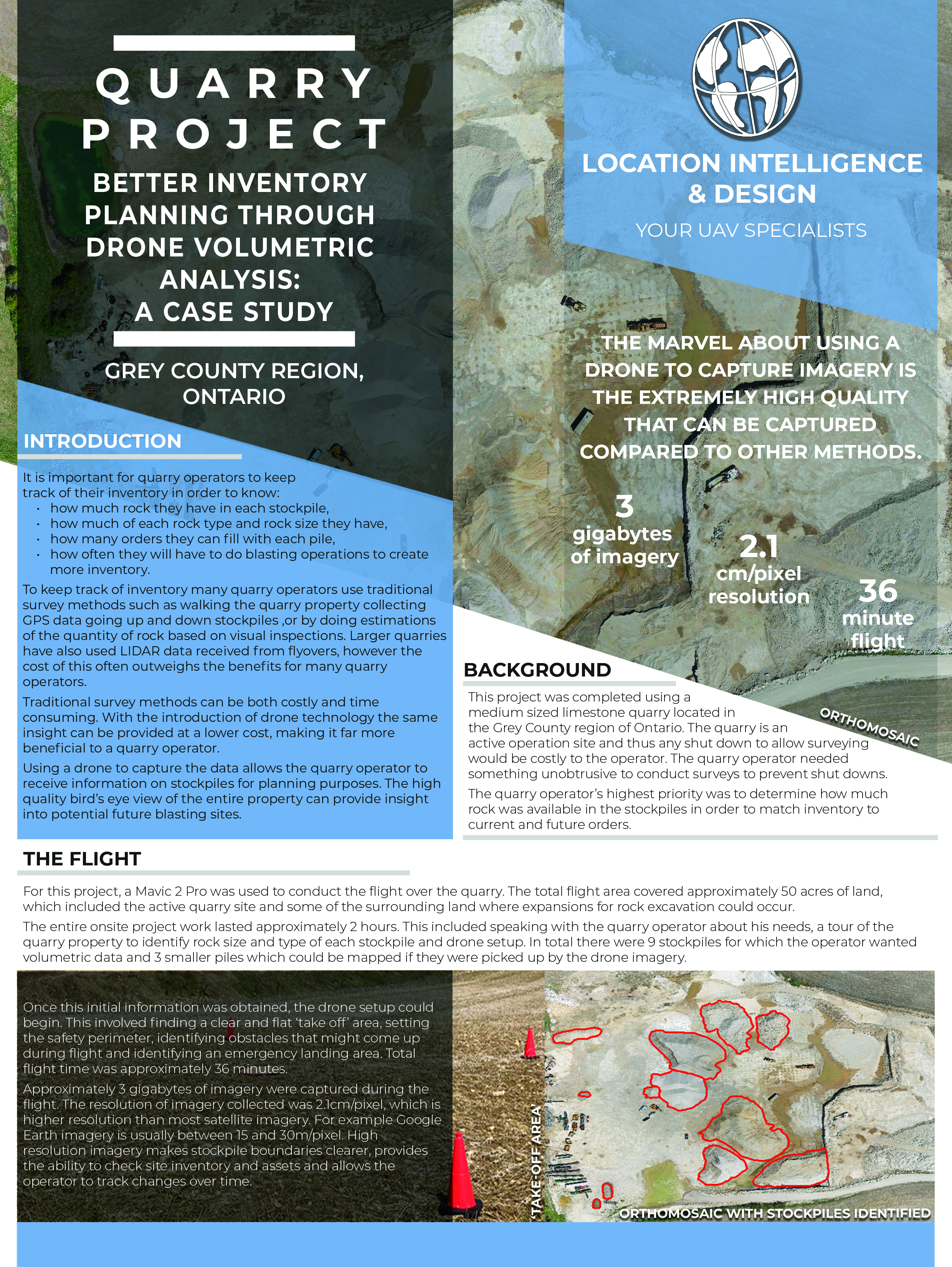
Develop geodatabases. Organize data and create queries. Convert data from tabular and CAD form to GIS Data

Spatial Analysis and Manipulation
The where, what, and how much? Solving geospatial problems using data analysis

Data Interpretation
Interpretation of physical, biological and constructed datasets
Have questions? Contact us to find out how we can help.
Contact Us


Associations


