Who
Use Case Examples
- Creative video flyovers of property to use for promotion
- Capability to quickly reach harder to reach areas
- Ongoing record for potential lawsuit and legal risk minimization
- Use topographical maps to find water drainage issues on a property
- Roof and Structure inspections

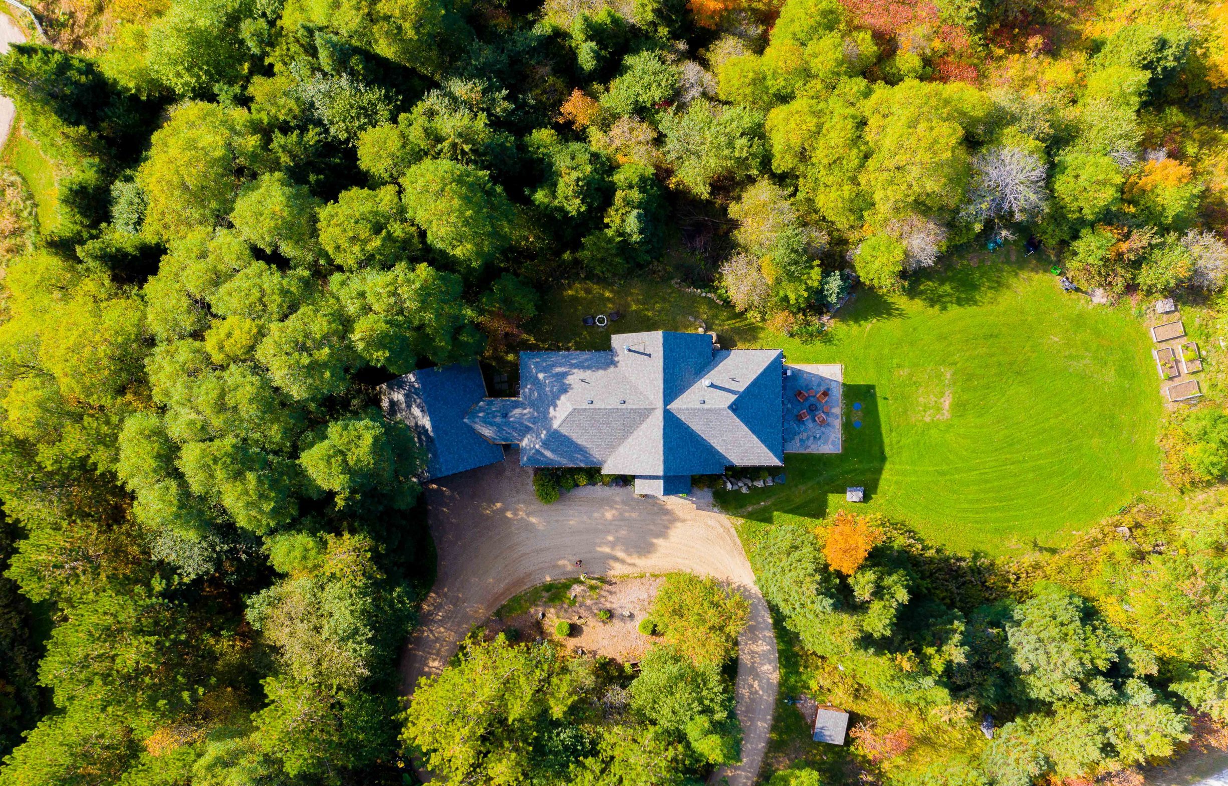
Aerial View of Property
What to Consider
- Simplifies surveying process
- Scheduled & on-demand aerial data collection
- Capability to quickly reach harder to reach & hazardous areas
- Ongoing record for potential lawsuit and legal risk minimization
