Who
Use Case Examples
- Survey operating worksite
- Photogrammetry mapping
- Building Information Models (BIM)
- 3D model generation
- Landfill inspections

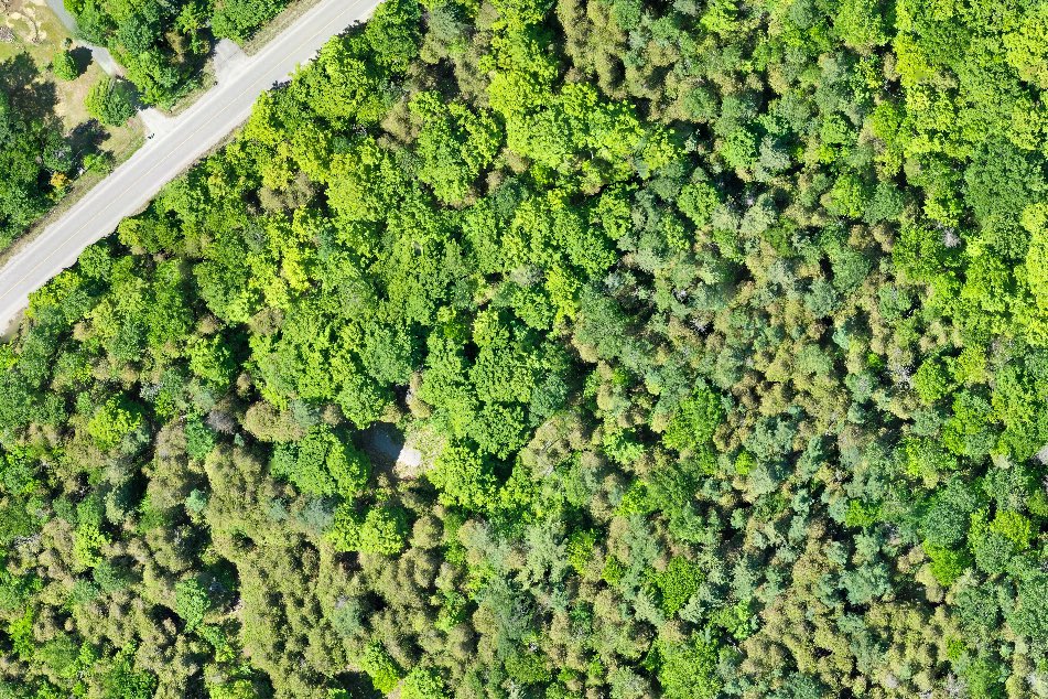
Tree Canopy Monitoring
What to Consider
- Simplifies surveying process
- Scheduled & on-demand aerial data collection
- Capability to quickly reach harder to reach & hazardous areas
- Ongoing record for potential lawsuit and legal risk minimization
