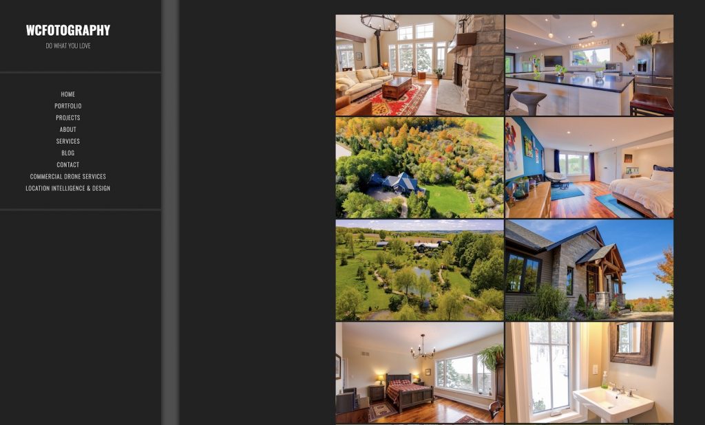
Check Our Creative Services Section- Such as Real Estate Photography!
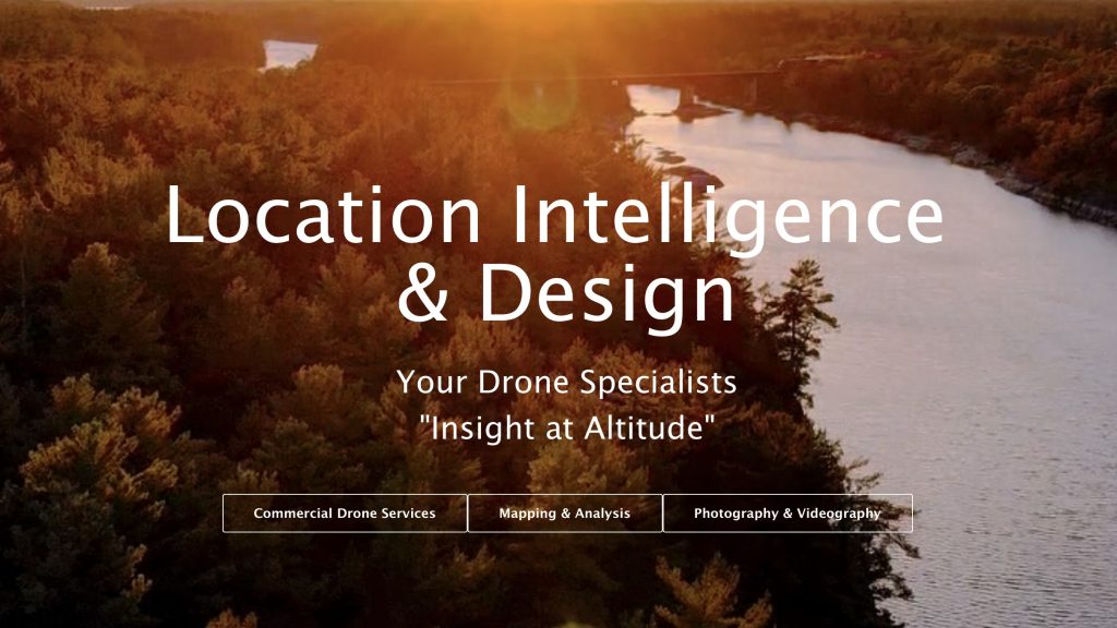
Have you noticed when you visit us, you get three options to voyage into our vast range of services?

Our mainstay involves our Commercial Drone Services offering, where we provide a vast range of opportunities in a wide variety of industries. But we aren’t just a licensed drone pilot – we also offering detailed mapping and analysis services based on our extensive GIS and mapping technology capabilities.
But the third option, “Photography & Videography” will give you a further sense of the solutions that we can offer you. It will take you to the professional photography site of our principal at L&ID, Willie Carroll, C.E.T., who has been offering personal and professional photography services for quite some time. It’s found directly at https://www.wcfotography.com.

Here’s where the magic comes in – there is a lot of overlap between these three primary services offerings. Imagine a drone flyover that is being used for detailed project management purposes – such as a transit project. A regular weekly series of flights will provide invaluable information to help to manage and monitor overall project progress. Add to that detailed mapping analysis, and you can obtain an up to date high level map of the project – that can be quite useful from a public relations perspective of community outreach purposes.
And then layer on top of that some top-notch creative photography and videography services that can take that very same drone video, layer it with some special effects, and you’ve got an even more powerful tool for those PR projects.
And so, when you visit LI&D and consider your project needs, keep in mind that the work we can do for you will cover multiple, different objectives!
Comments are closed.