Real Estate Listings from Altitude : 10 Industries in 10 Days – What You See, What We See!
The real estate industry is one of those that hadn’t changed for a long time – partly because there was never really any need to, and many agents were stuck in an innovation trap.
Find a home to list, take a few pictures, load it up into an online real estate site, and put a for sale sign on the front lawn. Imagination was lacking!
Then we saw the arrival of drone technology, and all of a sudden, the opportunity for a new and more dramatic property showing merged.

What You See
- Fixed position photography. While useful, these shots often leave little to the imagination if not properly done
- Homes hidden by trees or other buildings.
- The same old street-level shots that seem to be routine in all listings
What We See!
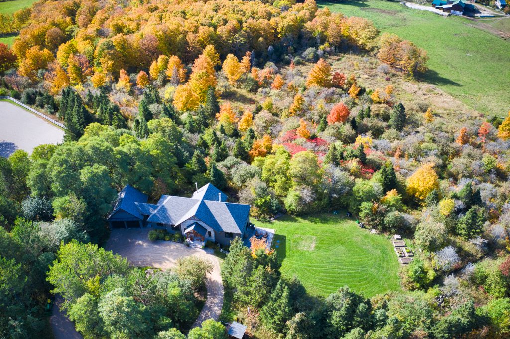
- Far more compelling visual images from altitude
- Dramatic, more interesting virtual tours
- Creative videos, which are proven to attract more attention online than simple images
- Greater access to more property features
- A competitive edge over brokers and agents who are stuck in old listing methods!
Location Intelligence & Design offers you a variety of opprotunties with your real estate listings. In addition, take a look at the real estate photography section of site for our founder, wcfotography, for a view into his creative eye!


Comments are closed.