That “Vision” Thing: The Many Different Eyes-in-the-Sky on The Drones Up There – And What It Means for You!
For a long time, scientists and researchers have been using a variety of camera based insight to undertake various forms of analysis.
In the last few years, the same types of cameras and sensors have become a key part of drone technology, which provides for a lot of different types of information analysis. Here at LI&D, we will clearly outline to you what is possible using different cameras and sensors when assessing your requirements.

Basic Cameras
Most drones come with a general camera that takes photographs from up above; these can then be stitched into a larger photo that can be analyzed in a variety of different ways – which we described in a previous post here. The higher quality the camera (resolution) the better the image; the better the image, the more detail there is, and the more detail is, the better the potential analysis is. Keep in mind though, that the height of the flight also impacts this concept.

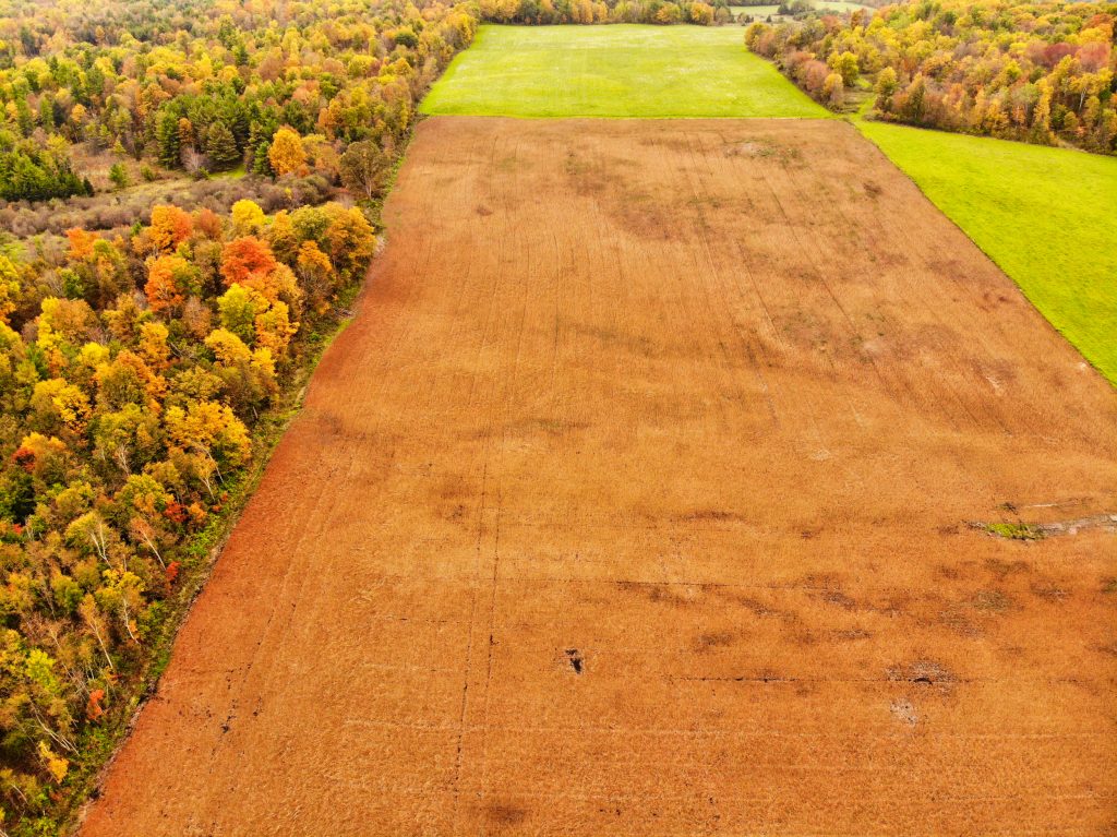
“Multi” and “Hyper” Spectral Cameras
Used for NVDI or “Normalized Difference Vegetation Indexing” processing – which we use for agriculture and golf course flights. These unique cameras provide unique data that help us to interpret plant and turf health, among other things.

Infrared Cameras
Help us to see temperature differences – these can be useful for home inspections, locating cattle or other livestock in forested areas (“precision ranching”) and other uses.

RFID Tag Scanners
Attach an RFID tag to something, and a drone can read it, and determine its location. Concept? Inventory tracking in the sky!

Chemical and Biological “Sniffer” Sensors
Assist the drone operator in locating pipeline or other leaks, or assessing areas of biological concern

LIDAR Sensor
A very specialized form of analysis that is based on laser based analysis – but which allows for surface mapping through trees, clouds and more. This specialized like radar system can penetrate these ‘covers’ in order to provide more precise GPS measurements from height.
Most projects can be undertaken with the first three in the list above; the other projects involve more sophisticated technology. The key thing you need to know is that we will give you a clear understanding of which is appropriate and what we can accomplish with what we can see ‘up there!’


Comments are closed.