The ROI From Drones and The Opportunity of Insight from Altitude: Better, Faster, Cost Effective!
Any new technology is not fully realized – until people realize the massive new benefits that come from that very same technology!
Such it is with insight from altitude!
You might be convinced that there is an extremely powerful role that drone-based aerial insight might play in your organization – and yet, you are struggling to convince your peers and leadership team.
With that in mind, let’s put on the table some of the clearest returns on your investment:

- Faster setup time than traditional methods: compared to aerial surveying by plane, helicopter, satellite and other traditional methods, the time to organize, fly and analyze the data from a drone flyover is simply unmatched.
- Up to date information: it’s easier to schedule a regular series of flights that help you analyze information on changes in a construction or other type of project. In fact, you can get near real time data with a regular series of flights, providing for better, more up to date decision making.
- Productivity improvements: simply put, better information at speed. That equals productivity and efficiency right there!
- Better team coordination through digital data: digital data means that you can better organize your project team’s workflow on issues that matter.
- Quick insight not previously possible: imagine you are in charge on a golf course, and it’s flooded. You need insight fast – and can’t get there. A drone can!
- Earlier identification of potential problems: in essence, drone based insight lets you change how you analyze key issues that are of concern. In agriculture, for example, you can now align yourself to earlier discovery of vegetation diseases, infections or pest problems.
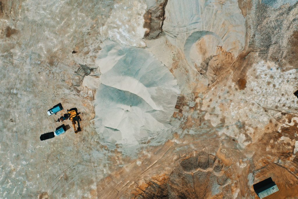
- Safety and risk minimization : clearly, we can minimize all kinds of risk. Consider what happens when we eliminate roof inspections, or active quarry access with workers not being sent into dangerous areas.
- Access to remote areas: drones can go where you can’t! That will change even more as BVLOS (beyond visual line of sight) drone technology and rules come into play.
- Avoiding project bottlenecks or delays through better insight, avoiding extra costs.
- Transitioning other insight models for more precision: for example, the long standing practice of “RTK surveys”, when done via drone technology, can provide extra insight for construction projects, land surveys, precision pesticide spraying and more. In essence, taking a long standing surveying practice and launching into the air with better insight!
- Better time management: with a better ability to deliver project on time
- A wider range of potential insight: the data possibilities from drones explode depending on the types of sensors used – multi and hyper spectral sensors (for near infrared i.e. plant health),) thermal (for heat detection), gas sensor detectors, LIDAR, RFID sensors (i.e for cattle tracking etc), chemical and biological sniffer sensors … there is a massive number of options.
- Better resolution data: compared to Google Maps, helicopter or plane based data
There’s more – but that is a short list to get you going!
Of course, outsourcing your project to a partner like LI&D keeps you free of any hidden costs, provides you with scale, fast setup and more. Give us a call!


Comments are closed.