Location Intelligence & Covid-19 : The Powerful Insight of GPS Based Mapping Information
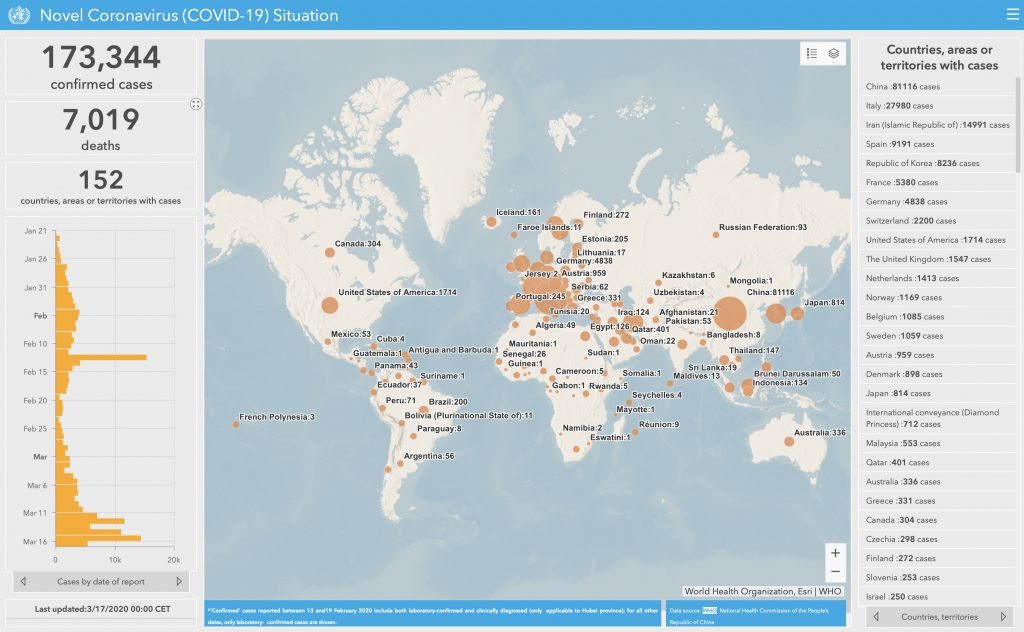
You’ve probably noticed them all over the Internet. Maps that track the spread of COVID-19, such as this global case map. Here’s an important thing to know: most of these tracking maps are built using a very complex and comprehensive software stack known as ArcGIS: it’s one of the key ‘location intelligence’ programs out there, as it allows people to view complex information in a visual, map based format.
It’s also one of the key skills of our Chief Pilot, Willie Carroll, C.E.T.

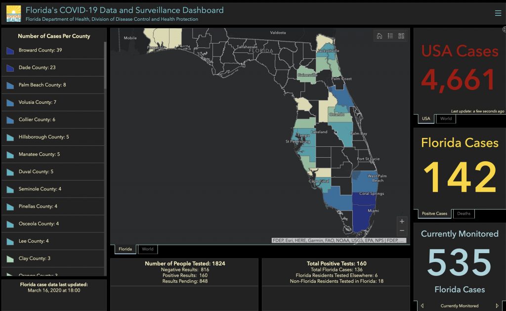
These maps are spring up all over the Internet, based on a back-end ArcGIS platform , for Florida…

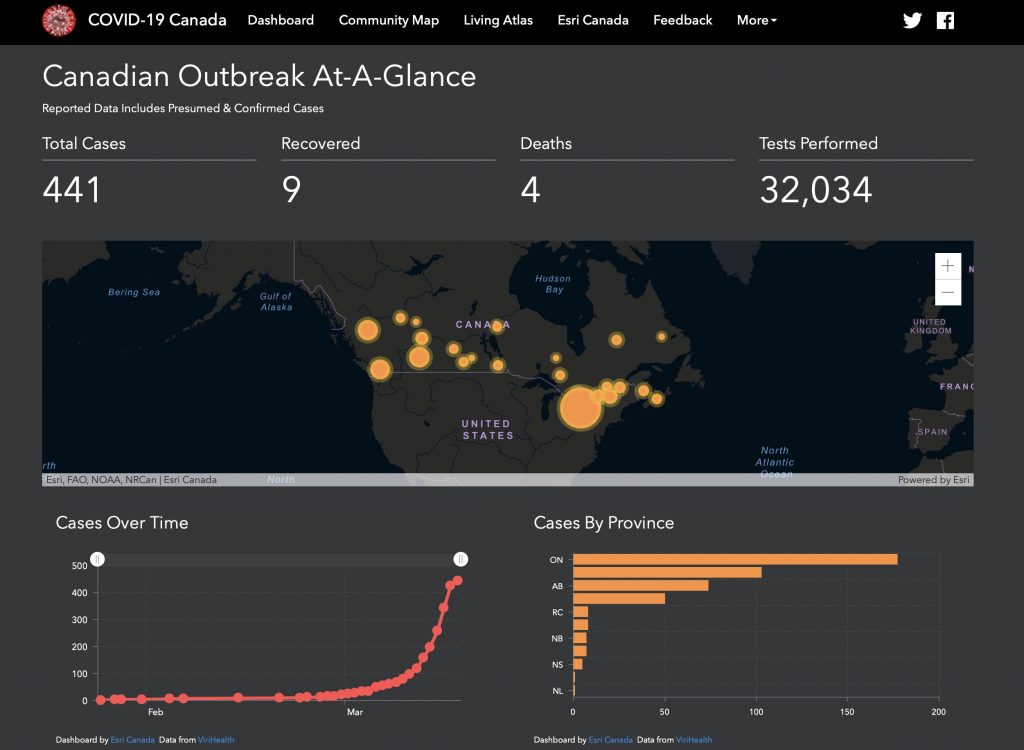
…and for Canada.

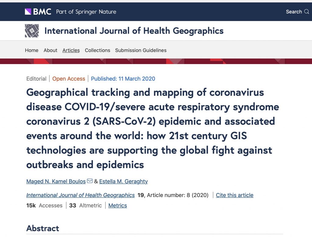
What is happening quickly online is the fast emergence of a new skill and platform for insight into this fast emerging global disease and unprecedented situation. If you want to understand all the different avenues in which mapping insight is playing a powerful role, take a look at this article:

In a nutshell, although it’s a complex read, it’s a good overview of how this technology is being used for everything from tracking progression of the number of cases, to the spread of misinformation.
Clearly insight-based mapping technology is yet another tool that people are using to try to manage this crisis. As the article notes:
Modern GIS technologies centre around web-based tools, improved data sharing and real-time information to support critical decision-making. Dashboards exemplify those ideals and have been extremely popular in sharing and understanding the spread of SARS-COV-2 coronavirus. Communication through map-based dashboards offers accessible information to people around the world eager to protect themselves and their communities. This tool type improves data transparency and helps authorities disseminate information.
Here at LI&D, we have extensive ArcGIS and digital mapping skills – its a part of our DNA – and so if you are exploring this world, give us a call.
Comments are closed.