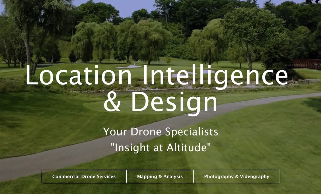
“Insight At Altitude” – How We Can Accelerate Your Business Operations!
When you visit us, you might have noticed a key phrase on our home page: “Insight at Altitude“

The arrival of drone technology is changing the very nature of the insight that business organizations can have into their operations. You can now gain unique visual, digital and map-based information at a lower cost, with greater efficiency, and reach all kinds of previously hard to reach places! Not to mention with a greater degree of workplace and worker safety!
Combine it with the unique digital mapping and analysis skills of LI&D, and you’ve got new and unique insight that has not previously been available to many organizations!
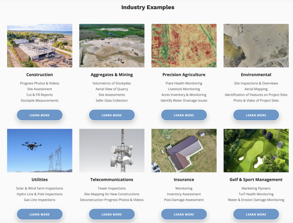
Consider the range of services we’ve been offering:
- golf course analysis from on high allows us to provide insight into a wide variety of course conditions, including tree canopy and turf health, irrigation issues and more
- in the world of construction, we can do detailed surveys that assist in project analysis, workplace safety assessments and timeline series that help with over project management
- utilities can use our services for tower and line analysis, new route planning purposes and maintenance reports
Those are just a few of the industries we cover in our wide range of drone services. Check us out with our Commercial Drone Services section.
But it’s the Mapping and Analysis services that we really stand as a cut above the rest – because we can take the detailed insight gained by our drone flights and analyze for a wide variety of unique purposes. Learn more in our Mapping & Analysis area of our site.
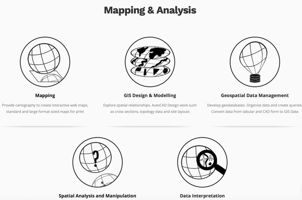
We can offer you very detailed digital maps and all kinds of other services.
- Photogrammetry and image interpretation
- LiDAR data processing
- Field data collection and observations
- Agricultural field nutrient quantity maps
- Interpreting and identifying earth processes, land features and uses
- Hydrology data analysis including watershed delineation, basin and flow analysis, DEM conversion
- Cartographic design to display location information, creating interactive web maps
- Phase I,II,III Environmental Site Assessment
- Soil sample data analysis maps
Put it together, and LI&D is a unique partner for your future – with extremely unique insight at altitude!


Comments are closed.