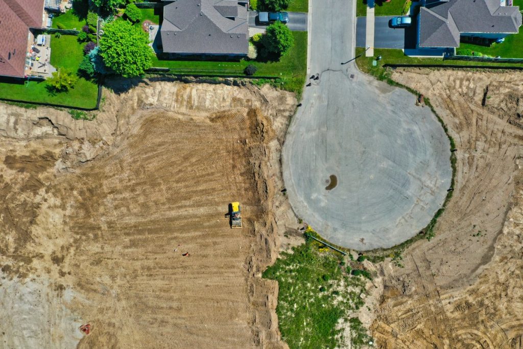
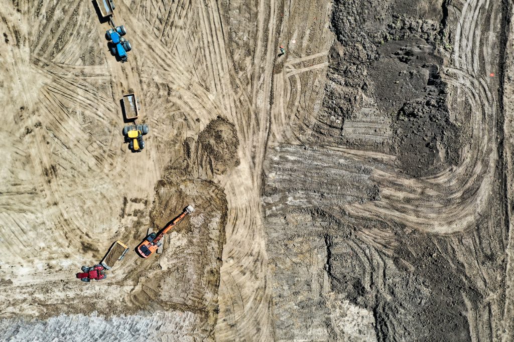
Key information for land development for subdivisions is not about having too much information, it’s about having the right information at the right time.
Currently browsing: Land Development
The hardest part of starting up is starting out.
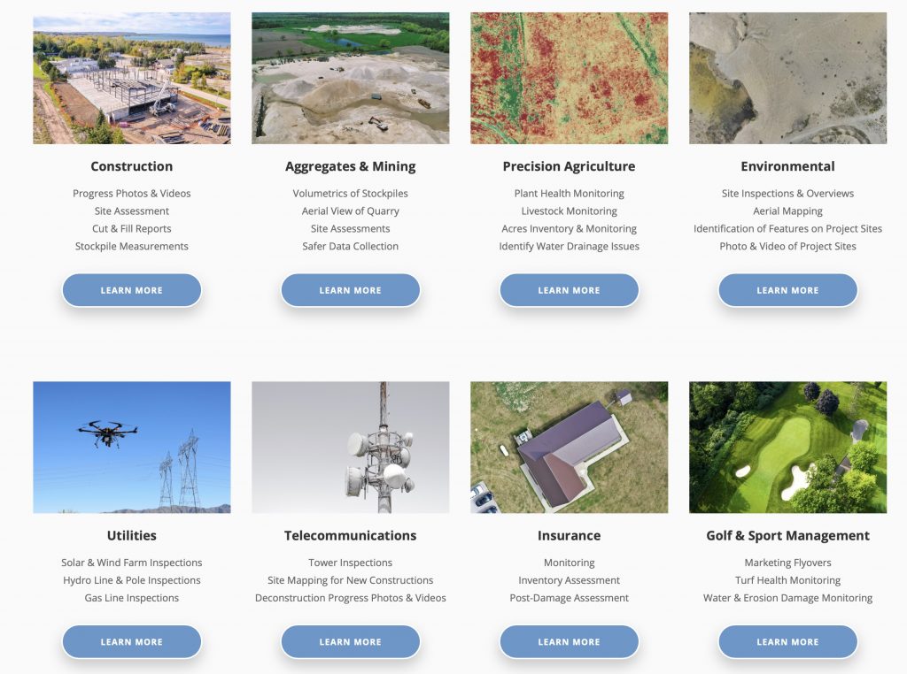
Our Upcoming “Benefits” Series: 10 Industries – 10 Opportunities!
Over the next two weeks we will be taking a deeper dive into 10 industries and how drones can have opportunities and benefits within projects in these industries. Stay tuned for more updates.
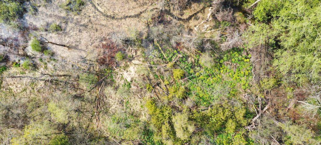
Accelerating The Environmental Mission: Better Conservation Insight and Management Through Drone Technology!
Through conservation practices, companies and NGO’s are utilizing technology to assist in their efforts to preserve the environment for future generations. Some have started using technology like drones to help with these efforts.
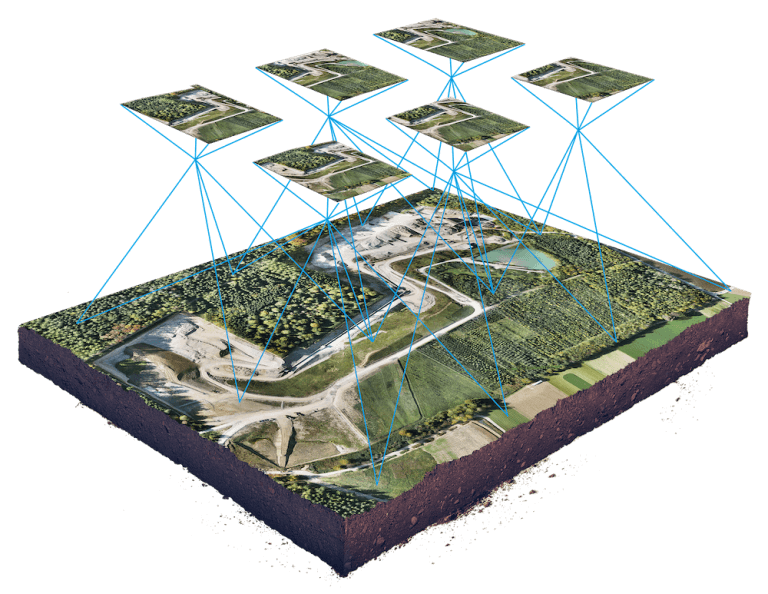
That’s One Big Picture – But One With a Lot of Insight! Understanding the Magic that Comes from Drones, Photography and GPS Insight
In some ways, the arrival of drone technology is a lot like the early days of the emergence of e-mail: people know that it is out there, but aren’t quite sure what they can do with it. Years later, it has become indispensible to every single aspect of their business operations.
Drones and You – Do You Really Know The Benefits To Your Industry? Maybe Not!
Rapid situational awareness. Faster setup. Cost efficiencies that are incredible compared to alternatives.
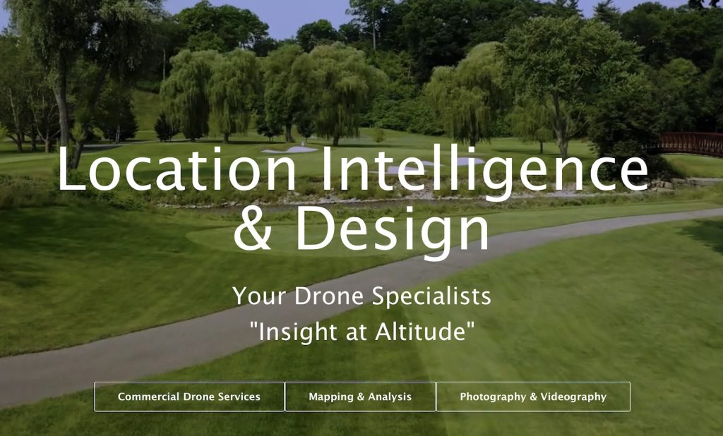
“Insight At Altitude” – How We Can Accelerate Your Business Operations!
The arrival of drone technology is changing the very nature of the insight that business organizations can have into their operations.

Sneak Video Peak – Drone Services at LI&D – More Than You Can Imagine!
At LI&D, we offer a wide variety of drone mapping, video and photography services to a lot of different industries – construction, aggregates and mining, golf courses and farms.


