Friday Fun Flights #9! Our Weekly Summary of the Weird, the Whacky, and the Wonderful Things with The Drones Up There!

From a drive in graduation ceremony to using drones for wildlife management. We sum up the weird, whacky and wonderful things in the drone world this week.

Experienced, Licensed, Insured! Why These Things Matter with Your Drone Partner

Certified, Experienced and Insured. Three things that your drone partner needs to be to help you with your projects.

Accelerating Insight At Altitude: Articles, Blog Posts and Case Studies from Location Intelligence & Design!

We have been busy not only working with clients, but also working with some associations to create articles to inform their members about the use of drones within their industries.

Capturing Beauty: Sometimes, You Just Need to Fly!

Here at Location Intelligence and Design, we consider it our mission to help accelerate the understanding of the powerful role that ‘insight from altitude’ – i.e. a drone flyover – can bring to your business and industry.

That’s why you see us spending so much time in this blog taking a look at a wide variety of industries – agriculture, mining, infrastructure, construction…

And yet, sometimes, you just need to warm your soul and indulge your passion for exploring the world around us in new and different ways.

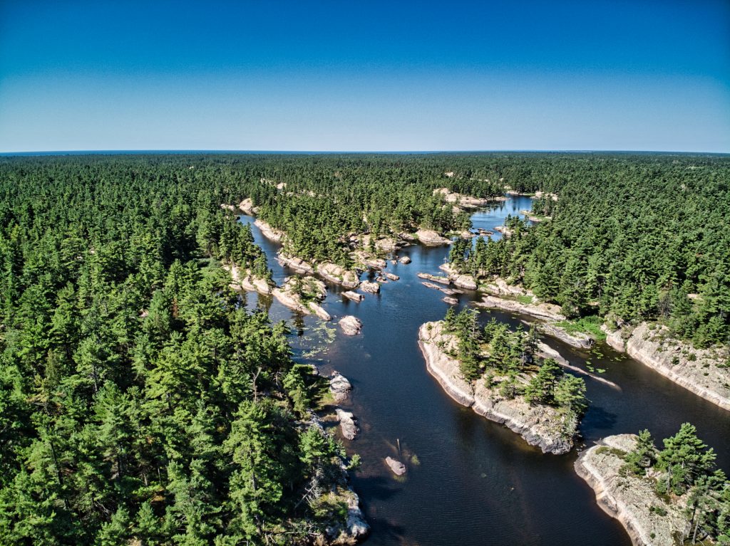
That’s why we’ve assembled this video, captured last summer during a canoeing trip up the French River, some three hours north of Toronto, Canada.

The beauty of the natural surrounding is evident; the dramatic landscape compelling; the vision overwhelming! Enjoy!

Friday Fun Flights (on a Thursday!) #8! Our Weekly Summary of the Weird, the Whacky, and the Wonderful Things with The Drones Up There!

From a mayor using a drone to enforce a city lockdown to toilet paper deliveries by drone. This week we sum up the weird, whacky and wonderful things with the drone industry.

Real Estate Listings from Altitude : 10 Industries in 10 Days – What You See, What We See!

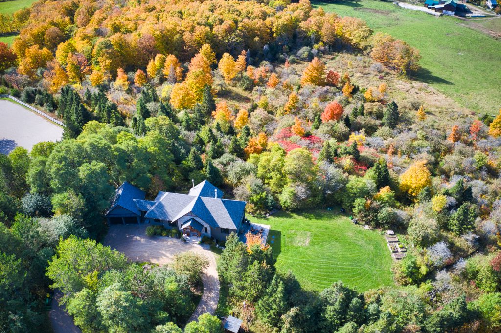
The Real Estate Industry has seen dramatic changes within the last few years with the introduction of drone technology allowing for unique views of properties.

Mapping and Insight from Altitude : 10 Industries in 10 Days – What You See, What We See!

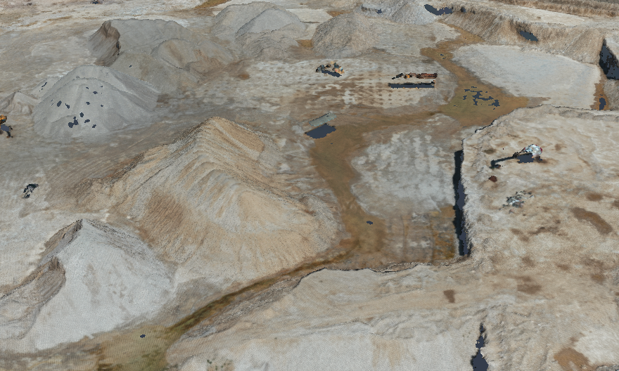
We would be lost without maps. We rely heavily on location intelligence, from our smart phones to our car’s, that we are continuing to see the evolution of new technology in the mapping industry.

Urban Planning and Land Development Assessment from Altitude : 10 Industries in 10 Days – What You See, What We See!

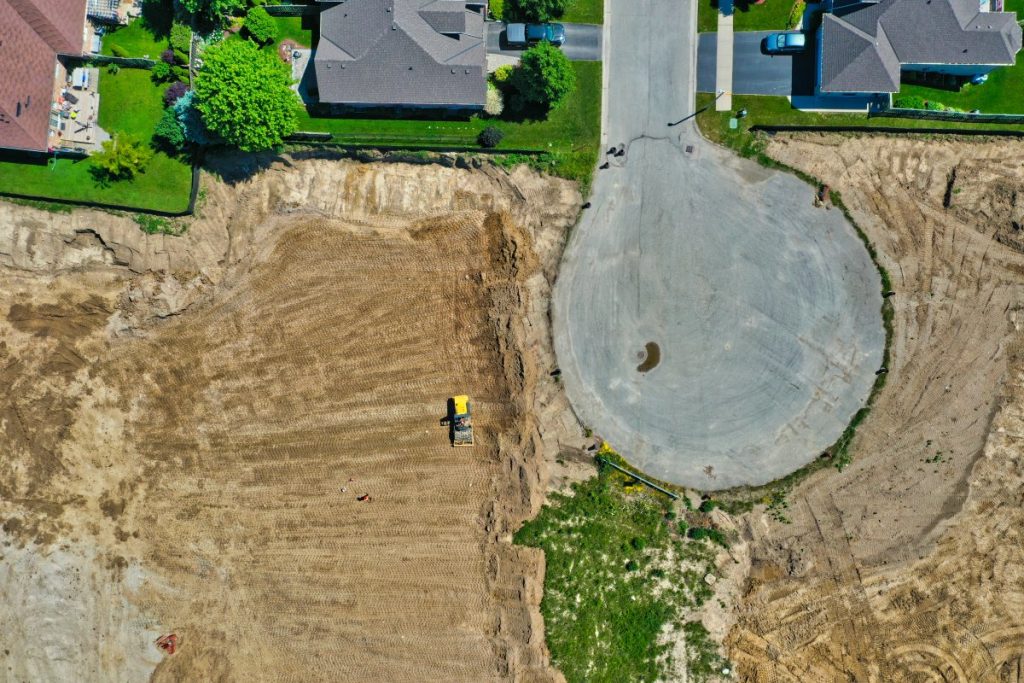
Key information for land development for subdivisions is not about having too much information, it’s about having the right information at the right time.

Friday Fun Flights #7! Our Weekly Summary of the Weird, the Whacky, and the Wonderful Things with The Drones Up There!

From using drones for enforcement to an Ex-Boeing executive spearheading Amazon Prime Air drone delivery. It’s Friday and here’s our summary of the weird, whacky and wonderful things with the world of drones this week.

Insurance and Risk Assessment from Altitude : 10 Industries in 10 Days – What You See, What We See!

When disaster strikes, there is always the “after” to think of. A lot of times this “after” gets delayed because of the inability to have useful insight. Drones are helping to change the after disaster response by providing a view that wasn’t possible before.

Categories