There is a certain artistry that can be achieved using a drone for visual presentation of information.
All posts by Willie
The hardest part of starting up is starting out.
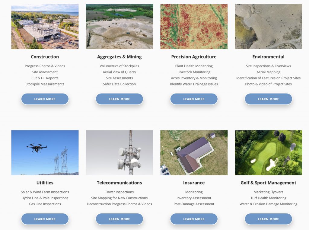
Drones and You – Do You Really Know The Benefits To Your Industry? Maybe Not!
Rapid situational awareness. Faster setup. Cost efficiencies that are incredible compared to alternatives.
“Insight At Altitude” – How We Can Accelerate Your Business Operations!
The arrival of drone technology is changing the very nature of the insight that business organizations can have into their operations.
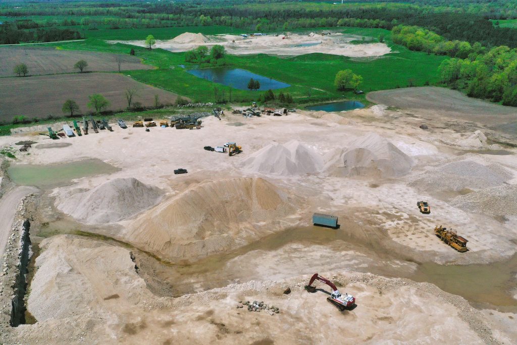
Rock ‘n Roll! Read our Quarry Project Case Study – Take Your Insight to the Next Level!
A drone flyover with the generation of a large scale orthomosaic map allows us to provide you with details on the tonnage of rock or other material within the stockpiles, no matter the size.

Sneak Video Peak – Drone Services at LI&D – More Than You Can Imagine!
At LI&D, we offer a wide variety of drone mapping, video and photography services to a lot of different industries – construction, aggregates and mining, golf courses and farms.
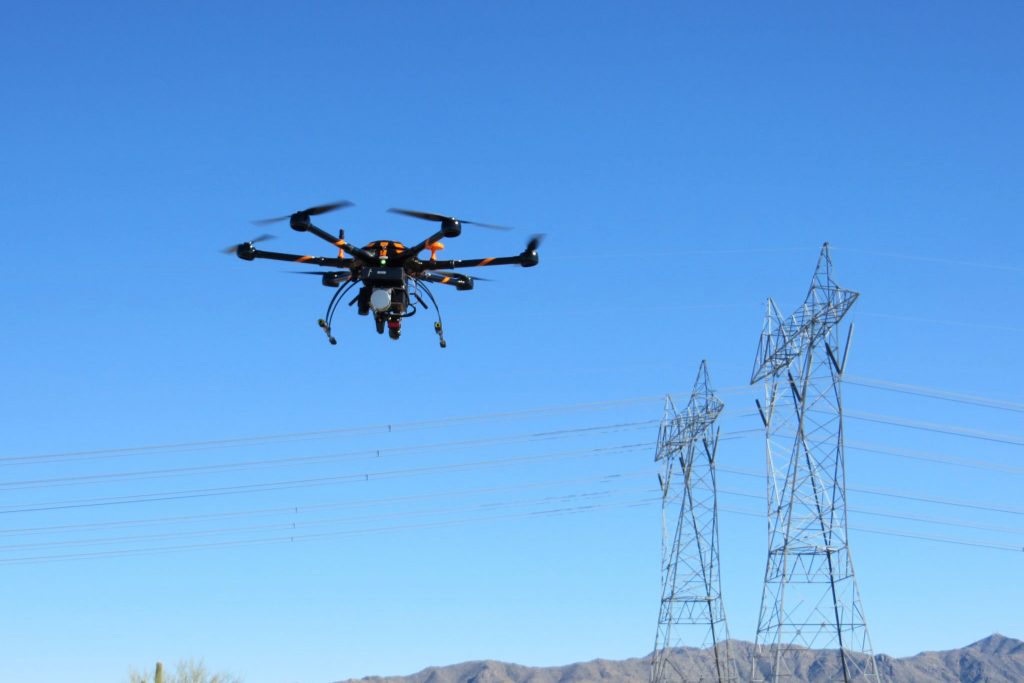
Drones & Utilities: Inspections, Safety, Risk Assessment and More
In the world of electrical, hydro and nuclear energy generation, water utilities and other organizations there is a widespread recognition that the insight gained from drone technology can play a vital role in several key areas.
Recent Posts
- Major Announcement: LI&D is Taking Flight into a New, Major Role in the Canadian Drone Industry!
- Drones, Industries and Opportunity: LI&D and A Dramatic New Future!
- Friday Fun Flights #17! Our Weekly Summary of the Weird, the Whacky, and the Wonderful Things with The Drones Up There!
- A Splash of Creativity: Here’s Why We Love The Opportunity of Altitude! (Hint: Watch this!)
