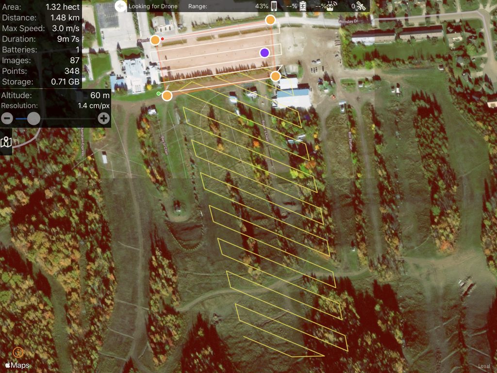
Online maps are become increasingly popular to track the spread and to show the clustering of COVID-19 cases. Behind each of these online maps is a complex system that is used to gather, visualize and share the data to the public.
All posts by Willie
The hardest part of starting up is starting out.

Drone Technology and COVID-19: Expect Fast Developments As Acceleration Occurs
With the fast evolving world that we live in right now with COVID-19, technology is and will continue to evolve at a fast, if not faster pace then it did previously. Drone technology is one such example where advances are being brought out sooner than what was first intended.
A Disruptive Week : A Pause to Reflect on Drone Technology and a World Immersed in Covid-19 Complexities
Drone technology can sometimes have a beneficial or potentially eerie role during times of crisis. We outline some of these roles that drones have been playing over the last few weeks.
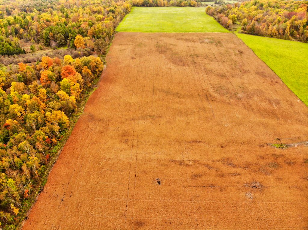
That “Vision” Thing: The Many Different Eyes-in-the-Sky on The Drones Up There – And What It Means for You!
The capabilities of drones is only limited by the type of sensors or cameras available to use. That being said, we outline a few uses of different cameras and sensors that can be mounted on to a drone.
The State of the Drone Market 2020: What’s Holding YOU Back?
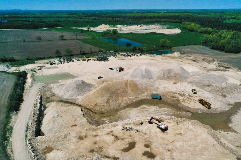
Is your company fully aware of just how beneficial insight from altitude can be from a drone? Many miss out on this huge and powerful insight that can help to accelerate their opportunities.

Accelerating Your Golf Course Marketing: Reaching the Target Through Drone Based Video Flyovers!
The magic that comes from a promotional video of a golf course or hole fly through videos can help make your club stand out and show what you have to offer to golfers.
Friday Fun Flights #4! Our Weekly Summary of the Weird, the Whacky, and the Wonderful Things with The Drones Up There!
This week its all about the golf ball view and the quick reaction of a dog. Find out what is weird, whacky and wonderful in the world of drones this week.
Marketing and Public Relations : Accelerate Your Initiatives with Insight from Altitude
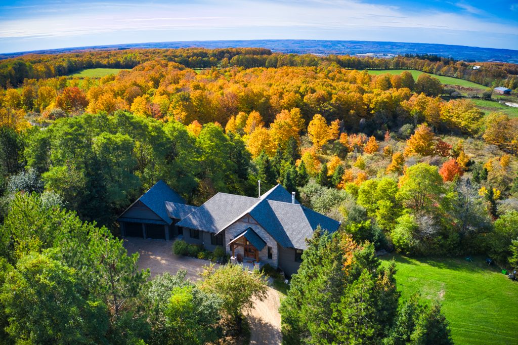
Having that different perspective of a project or location can sometimes make all the difference to your clients, partners, stakeholders and the public. Drones can provide that dramatic view that could make all the difference.

