
From a scenic tour of Switzerland to a drone that can play dodge ball and win, we sum up the weird, whacky and wonderful things of drones from this week.
Blog
The hardest part of starting up is starting out.
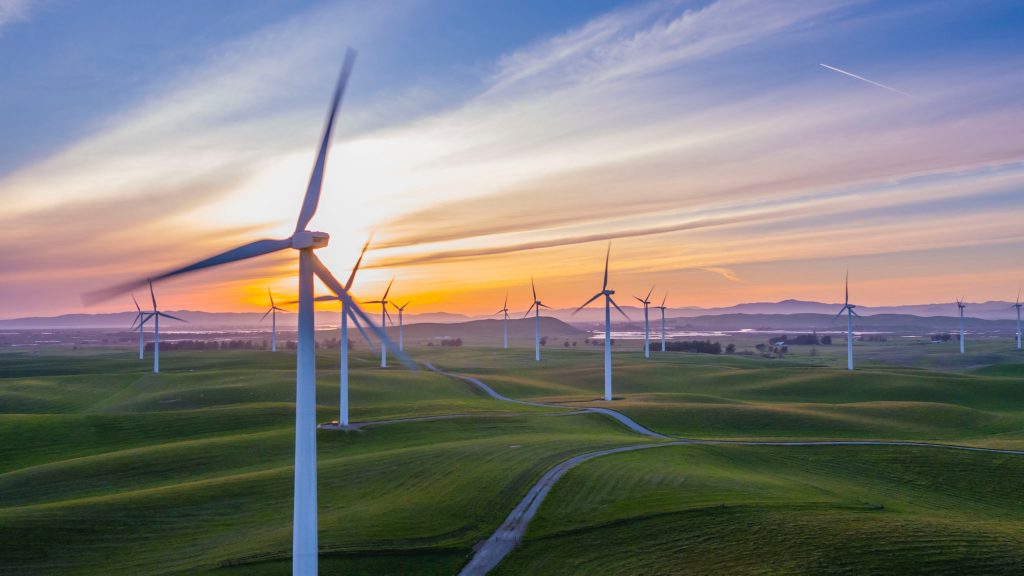
Electrical and Renewable Utilities Insight from Altitude : 10 Industries in 10 Days – What You See, What We See!
The arrival of drone technology is changing how utilities are conducting inspections and completing work. Learn how drones can be a benefit.

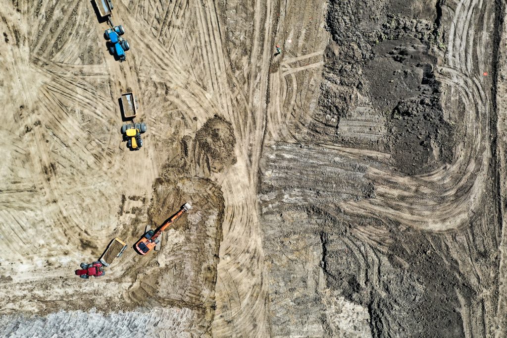
Construction Insight from Altitude : 10 Industries in 10 Days – What You See, What We See!
In the world of construction, drones are becoming key tools found on project worksites. Find out how using a drone could benefit you.
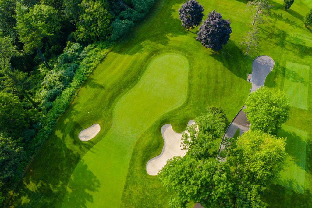
Golf Insight from Altitude : 10 Industries in 10 Days – What You See, What We See!
A drone can be a powerful tool for a golf course to provide a different perspective for marketing material and for use with course management. Here is a short overview of key benefits that insight from altitude can give to golf courses.
Our Upcoming “Benefits” Series: 10 Industries – 10 Opportunities!
Over the next two weeks we will be taking a deeper dive into 10 industries and how drones can have opportunities and benefits within projects in these industries. Stay tuned for more updates.

Friday Fun Flights #5! Our Weekly Summary of the Weird, the Whacky, and the Wonderful Things with The Drones Up There!
From using drones for advertising, to walking your dog, this week our Friday Fun Flights sums up the weird, the whacky and the wonderful things within the drone sphere.

“Here’s my Number, so Call Us Maybe!” -> Contact Us To Explore Our Drone World in Your World!
Want to learn about how drones can help your business’s workflow. Contact us to discuss how we can help.

Automated Drone Technology – One More Piece to the Fast Evolving World of Insight from Altitude!
Anytime there is a crisis, many technologies will make advances ahead of what is projected, drone technology has continued on this course of advancement.

Location Intelligence & Covid-19 : The Powerful Insight of GPS Based Mapping Information
Online maps are become increasingly popular to track the spread and to show the clustering of COVID-19 cases. Behind each of these online maps is a complex system that is used to gather, visualize and share the data to the public.

Drone Technology and COVID-19: Expect Fast Developments As Acceleration Occurs
With the fast evolving world that we live in right now with COVID-19, technology is and will continue to evolve at a fast, if not faster pace then it did previously. Drone technology is one such example where advances are being brought out sooner than what was first intended.


