How do we fulfill our prime directive of interpreting information that we collect from our drone flights? Find out how we deal with all that data.
Currently browsing: Business
The hardest part of starting up is starting out.

Your Drone Partner? They Need to Be More Than Someone with a Drone – They Need to Be a Creative Genius!
Anyone can fly a drone and take a photo, but it takes a certain eye to be able to add that little bit of extra something to it.
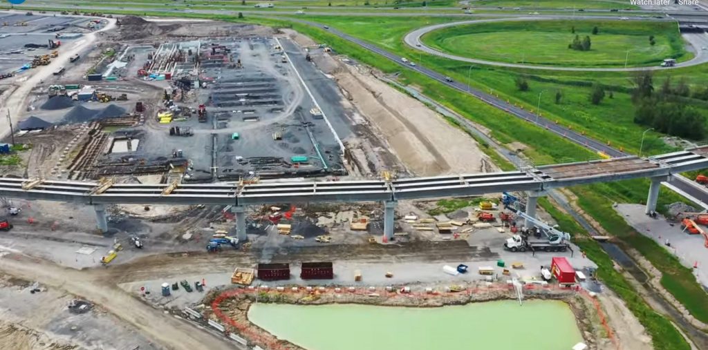
Big Infrastructure? Big Challenges! Big Opportunities!
Large scale infrastructure projects are a critical component for the economic success of a region. Companies are recognizing how the use of drones can provide useful information and insight for successful community outreach and public relations strategies to maintain public approval.

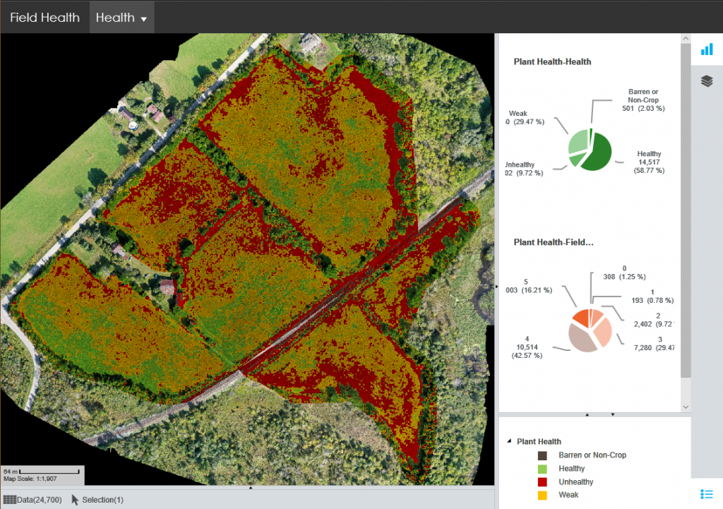
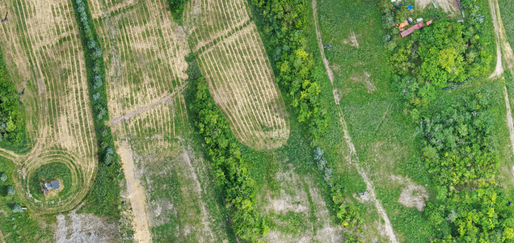
Farming, Agriculture and Drones: Farmville Meets the Future!
The farmers of today are encountering a rapidly changing world. With the advances in technology, a generation weaned on a virtual world meets a technology that allows them to do what was once only virtually possible.
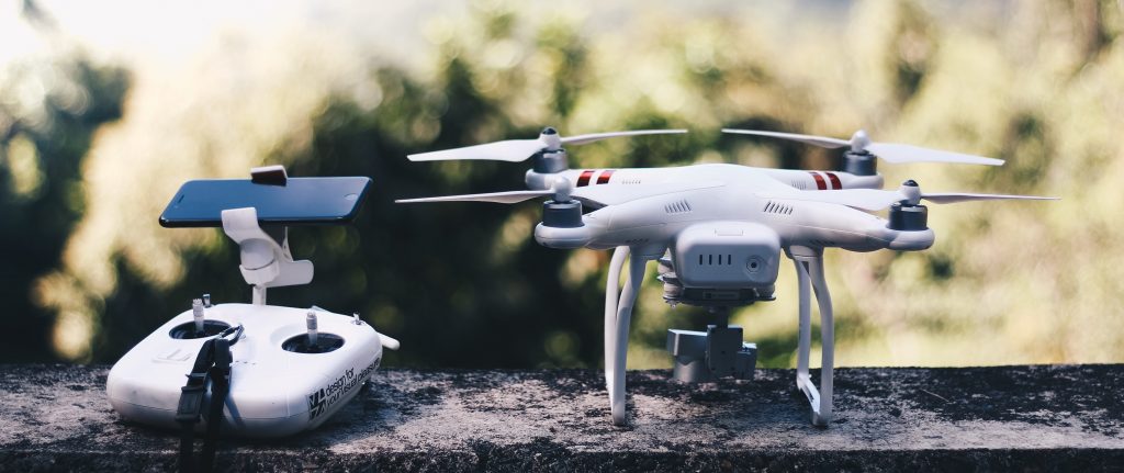
Why Do You Need a Drone Partner? Um, Would You Build Your Own Airforce?
Based on a conversation with friends or business peers, you might be tempted to go out and buy a few drones, train a few people and get up and running with your own drone air force!
Let us explain why this might simply be a bad idea.
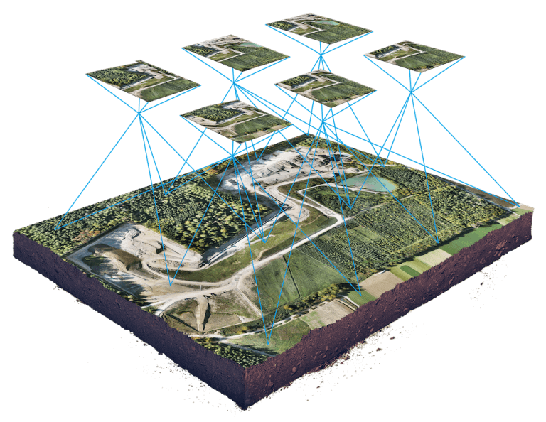
That’s One Big Picture – But One With a Lot of Insight! Understanding the Magic that Comes from Drones, Photography and GPS Insight
In some ways, the arrival of drone technology is a lot like the early days of the emergence of e-mail: people know that it is out there, but aren’t quite sure what they can do with it. Years later, it has become indispensible to every single aspect of their business operations.

Drone, GIS & Mapping Insight – Professional Skills Matter : We’re Insured, Certified, Experienced!
Like any industry, the drone industry is seeing fast emergence in new participants. Keeping up with the changes keeps us on top.
Here’s a Word: Homologation. And We Can Help You with That Too!
We at LI&D can utilize our drone and mapping technology to help you with your homologation requirements.
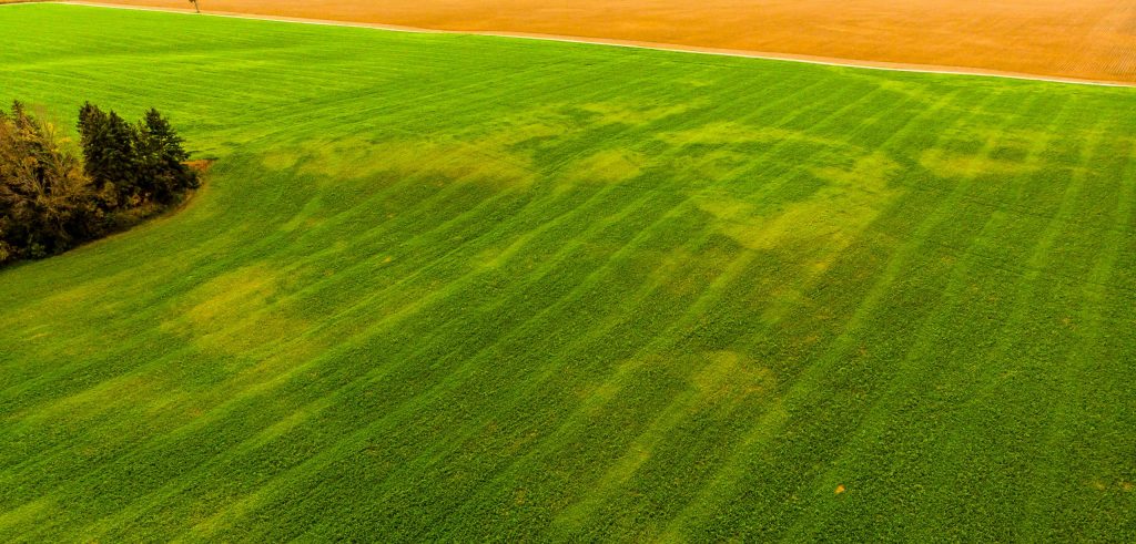
The Future of Drones in Agriculture – Unlimited Only By Your Imagination!
According to some estimates, the agricultural drone industry will be worth more than $1 billion by 2024.
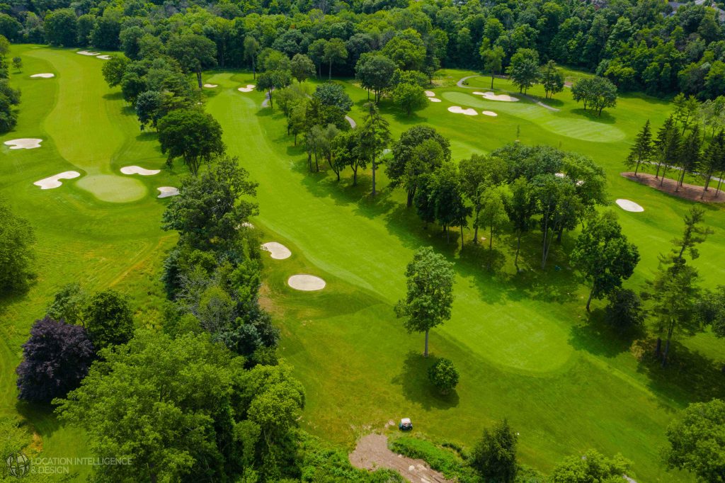
Golf Insight From Above – Willie Carroll, C.E.T. to Speak at the Upcoming Canadian Golf Course Superintenddants Assocaiton annual conference!
Have you been hearing about new methods of analysis for your golf course using sophisticated mapping tools and want to learn more about it? With advanced drone mapping technology, you now have the chance for extremely complex analysis at a very low cost.


