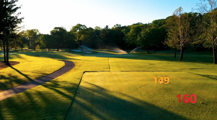
As we get into spring and summer, the golf season would normally begin to start, this year it will be a little different. So in the mean time why not choose to show your golfers what some of your course looks like.
Currently browsing: Media
The hardest part of starting up is starting out.
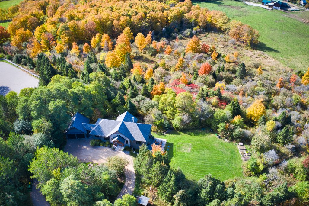
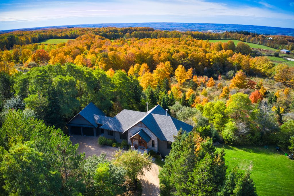
Real Estate Listings from Altitude : 10 Industries in 10 Days – What You See, What We See!
The Real Estate Industry has seen dramatic changes within the last few years with the introduction of drone technology allowing for unique views of properties.
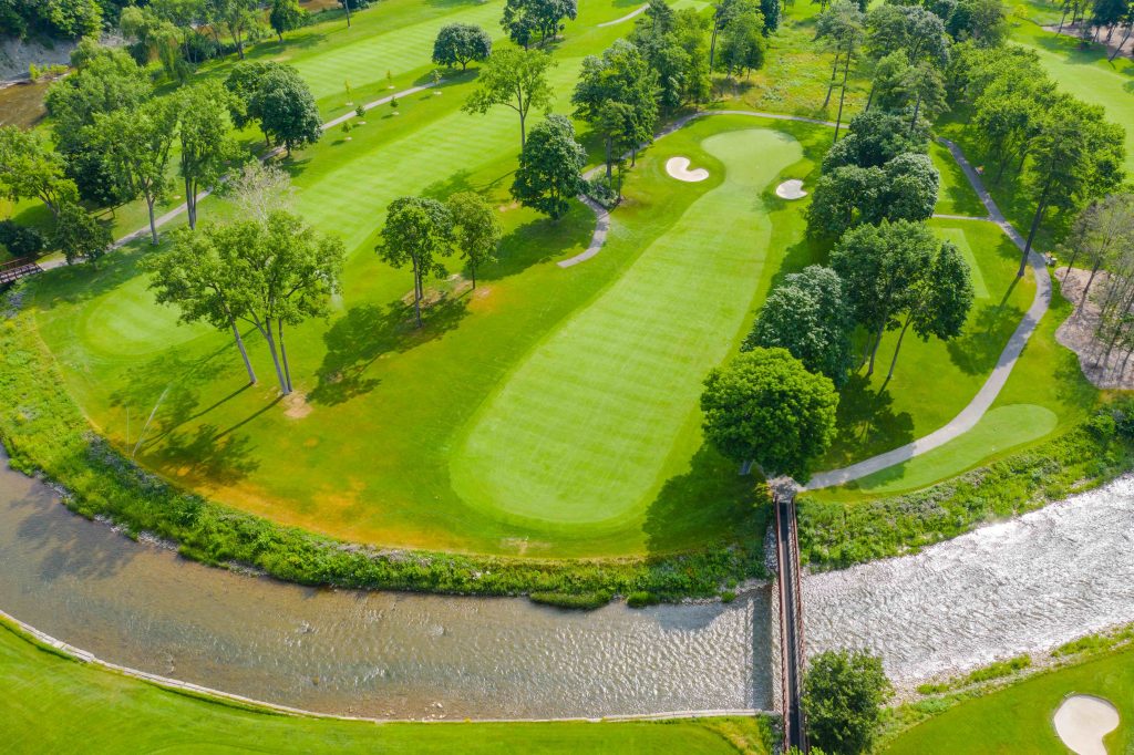
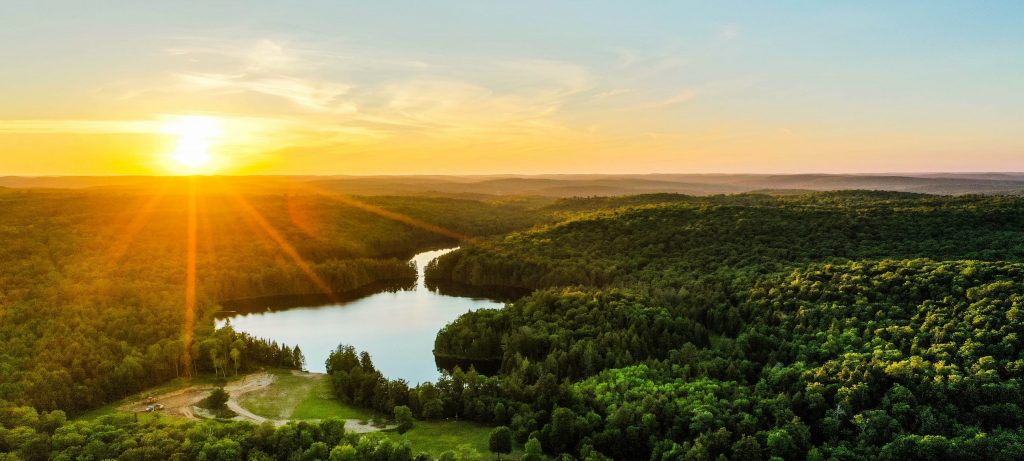
Accelerating Your Golf Course Marketing: Reaching the Target Through Drone Based Video Flyovers!
The magic that comes from a promotional video of a golf course or hole fly through videos can help make your club stand out and show what you have to offer to golfers.
Marketing and Public Relations : Accelerate Your Initiatives with Insight from Altitude
Having that different perspective of a project or location can sometimes make all the difference to your clients, partners, stakeholders and the public. Drones can provide that dramatic view that could make all the difference.
Your Drone Partner? They Need to Be More Than Someone with a Drone – They Need to Be a Creative Genius!
Anyone can fly a drone and take a photo, but it takes a certain eye to be able to add that little bit of extra something to it.
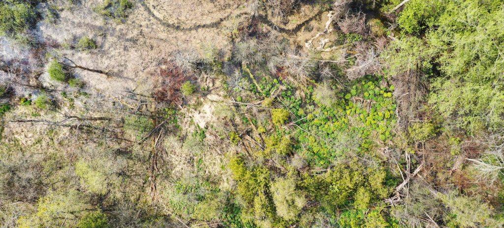
Accelerating The Environmental Mission: Better Conservation Insight and Management Through Drone Technology!
Through conservation practices, companies and NGO’s are utilizing technology to assist in their efforts to preserve the environment for future generations. Some have started using technology like drones to help with these efforts.
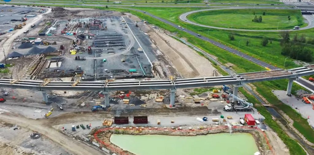
Big Infrastructure? Big Challenges! Big Opportunities!
Large scale infrastructure projects are a critical component for the economic success of a region. Companies are recognizing how the use of drones can provide useful information and insight for successful community outreach and public relations strategies to maintain public approval.
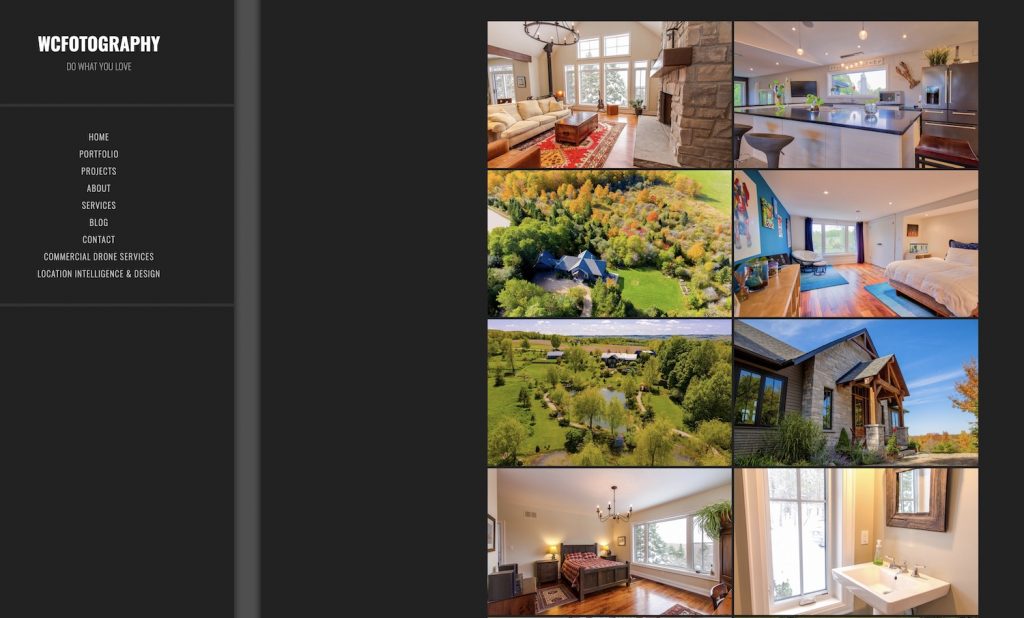
Check Our Creative Services Section- Such as Real Estate Photography!
Photography & Videography. Another great service that LI&D can provide to give a different perspective to your projects.
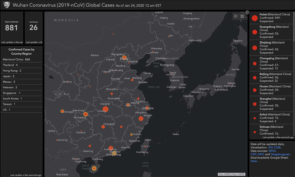
Tracking the Coronavirus via GIS – The Power of Map Based Insight for Epidemic & Disaster Management
The world is warily watching the rapid emergence of a new global health risk in Wuhan and other Chinese cities.
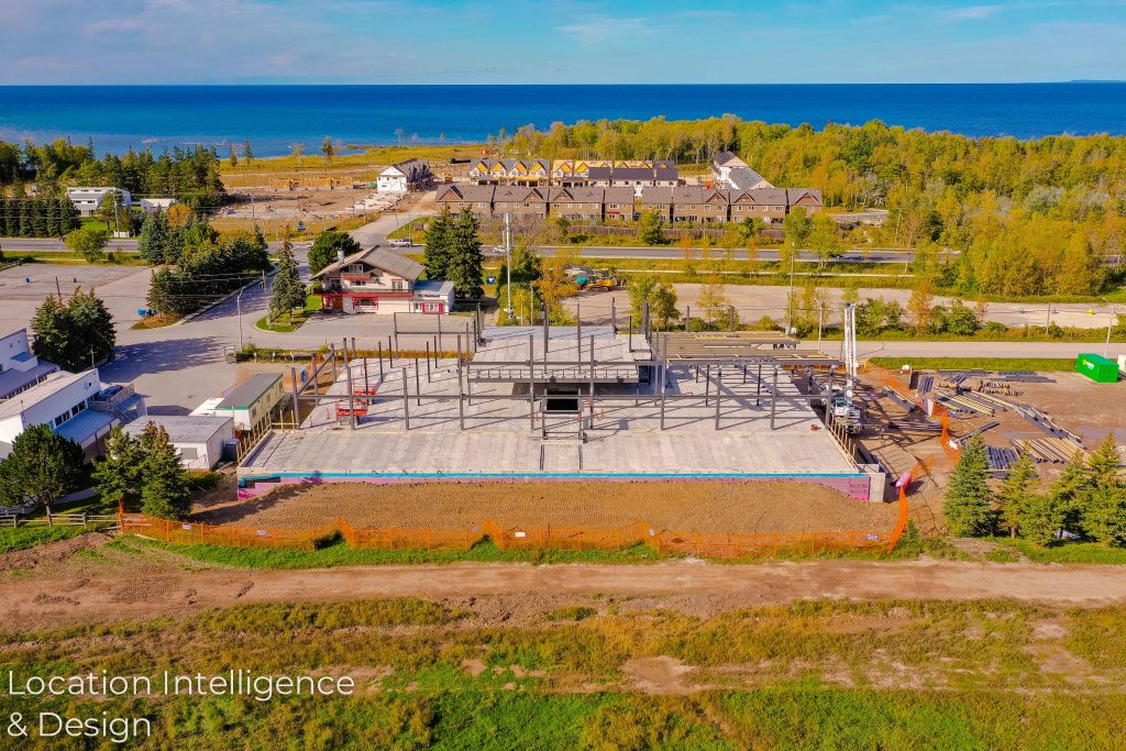
“What’s the Status?” – How Drone Based Visual Insight Can Help You with Your Construction Project Management
It’s the phrase that every construction project manager hates to hear – “What’s the status? Are we falling behind?”


